|
| Beautiful Waterton |
I had always wanted to go to Waterton Lakes National Park. It is located in southwest Alberta, approximately 3 hours away from Calgary. Rumour had it that the scenery was stunning and quite different than that of Banff or Canmore. So when it came time to figure out what to do for the May long weekend, I thought: Why not Waterton? It turns out that the rumour was true.
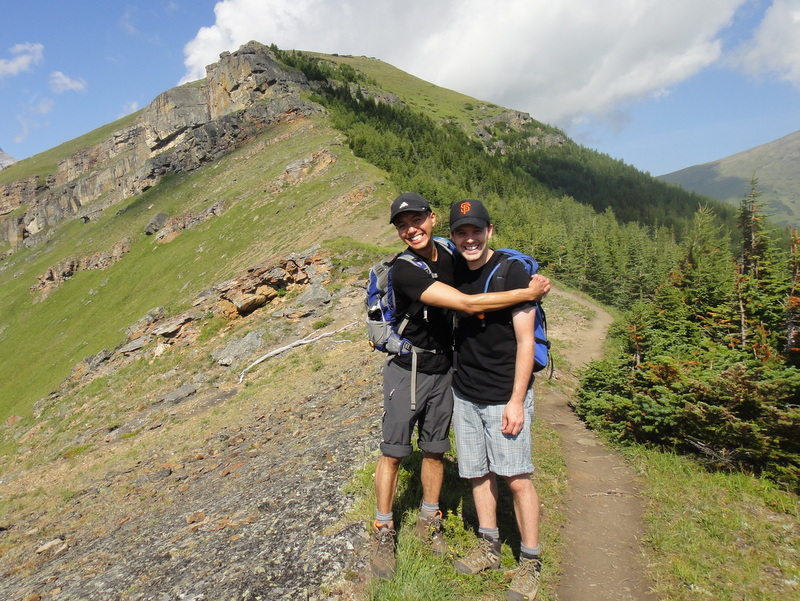
On Friday night, Robbie and I packed up our hiking stuff for a weekend of adventuring and left early Saturday morning. The drive was lovely: Prairie lands forever to the left, and the Rockies running parallel to the right. Driving along Crowsnest Highway, the mountains looked epic in the distance while windmills littered the horizon. I love the feeling as you get closer and closer to the mountains. The landscape changes so quickly- the flora, the glacial lakes, and the jagged peaks. I am always in awe.
Upon entering the national park, I noticed a UNESCO World Heritage sign. I had no idea that Waterton was a UNESCO site. I looked it up and in 1932, Waterton Lakes National Park (Alberta, Canada) and Glacier National Park (Montana, USA) were combined to form the Waterton Glacier International Peace Park. In fact, it was the world’s first international peace park. Very cool.
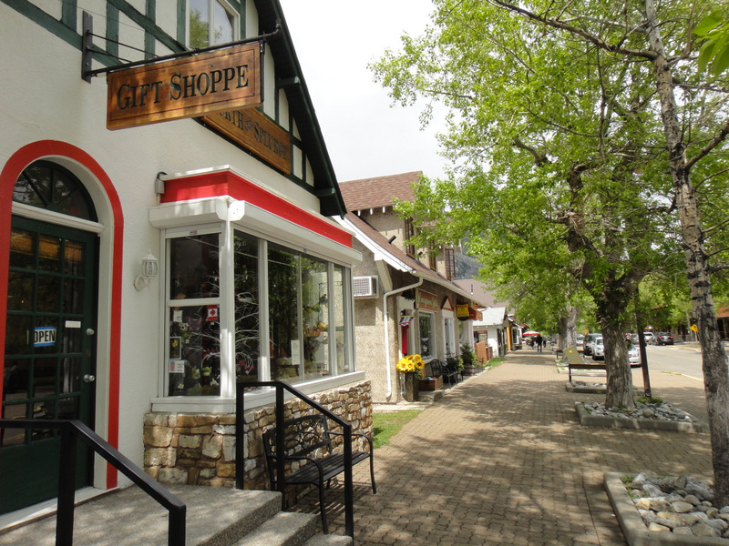
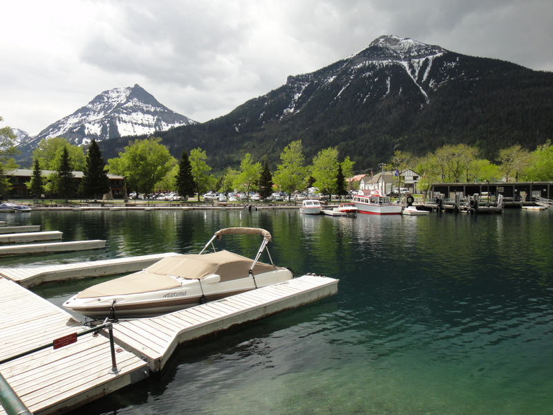
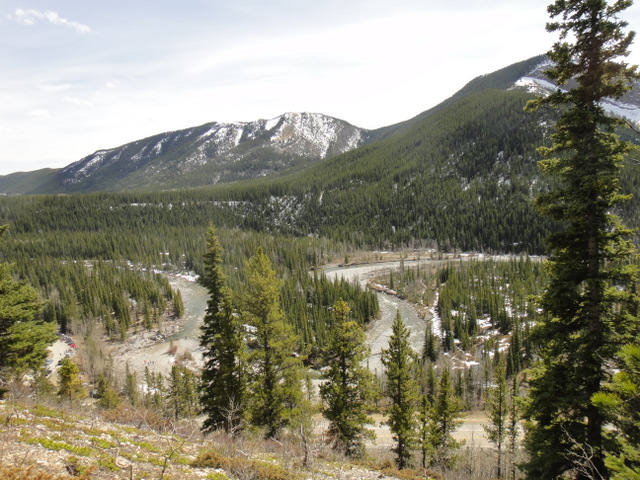
Even though it was a long drive and I was quite tired, there was no time to waste! I decided to walk around the village and take in the sights. Waterton Village is a quaint place, with little shops, hotels and eateries. It wasn’t too busy, but busier than usual because it was the ‘opening’ weekend for the season. The village is right beside Upper Waterton Lake and at the foot of the Rocky Mountains. In short: it’s a very scenic place.
 |
| Waterton Village |
 |
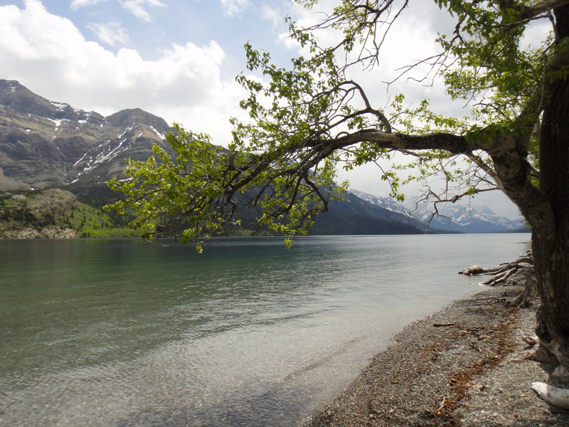
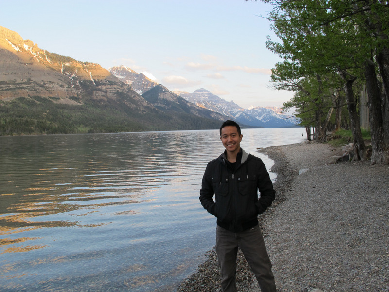
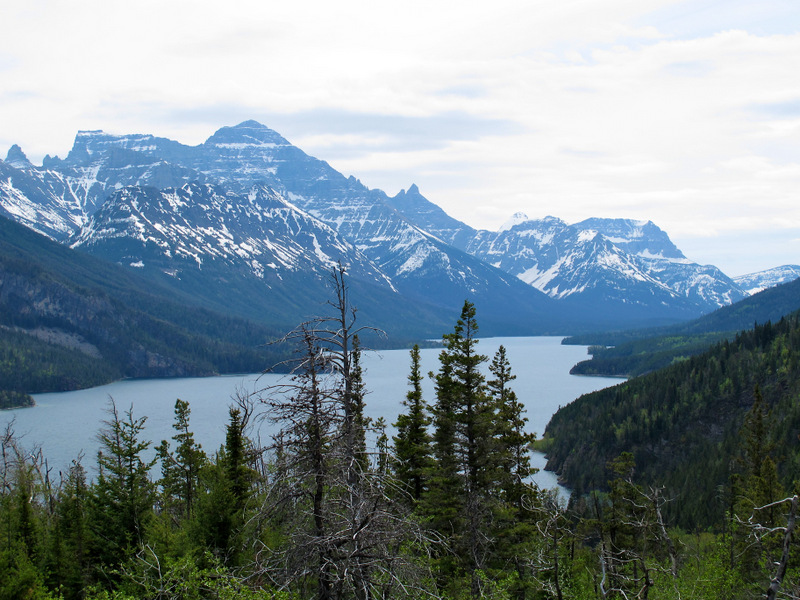
| Waterton Lake |
 |
| The marina and Emerald Bay |
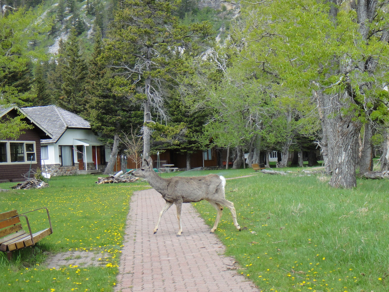
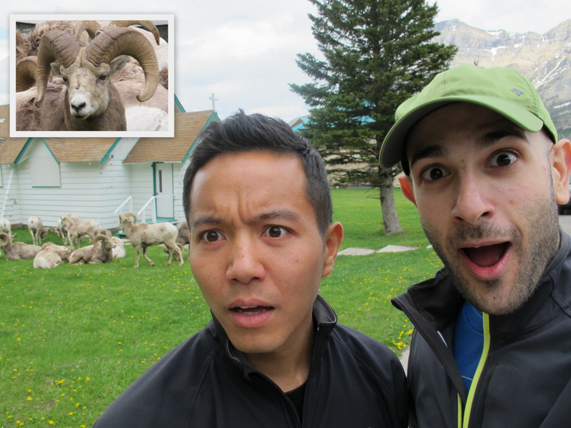
I had heard that Waterton has lots of wildlife. In fact, it’s pretty much bear-central in Alberta. Yes, bears can be dangerous, but more often than not, they’re just as afraid of people as we are afraid of them. So what’s the first thing we saw upon entering the Waterton town site? Just outside of the information centre, a black bear ran across the road as cars slowed to let it cross! Watching a bear run is quite a beautiful sight. They are incredible creatures. Unfortunately the incident happened far too quickly to capture a good photo, but after that, I knew it was going to be a good trip. Fast forward about an hour and a deer walked across a path, right in front of me. And THEN, on our way to the first hike of the weekend, we stopped the car suddenly. There was a herd of bighorn sheep just hanging out on someone’s lawn. Yep, just hangin’ out. NBD. Although I’d like to think they were menacing and ready to attack at any moment, they were quite harmless.
 |
| It’s just a deer. NBD. No big deal. |
 |
OMG, Bighorn sheep! (The face of the bighorn sheep
has been zoomed in for dramatic effect. Eek!) |
 |
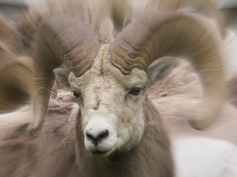
| Menacing and ready to attack?! Or super cute 🙂 *hug* |
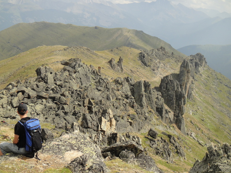
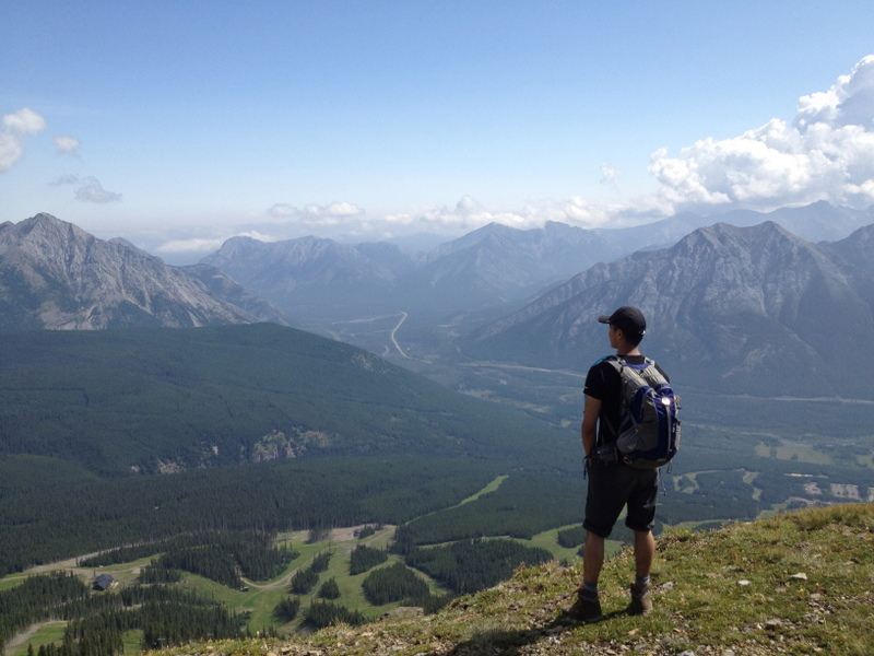
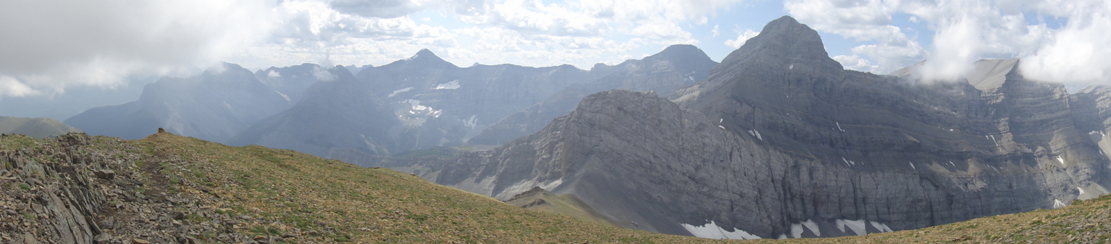
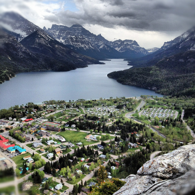
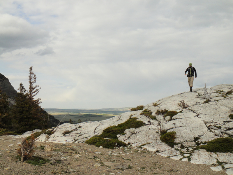
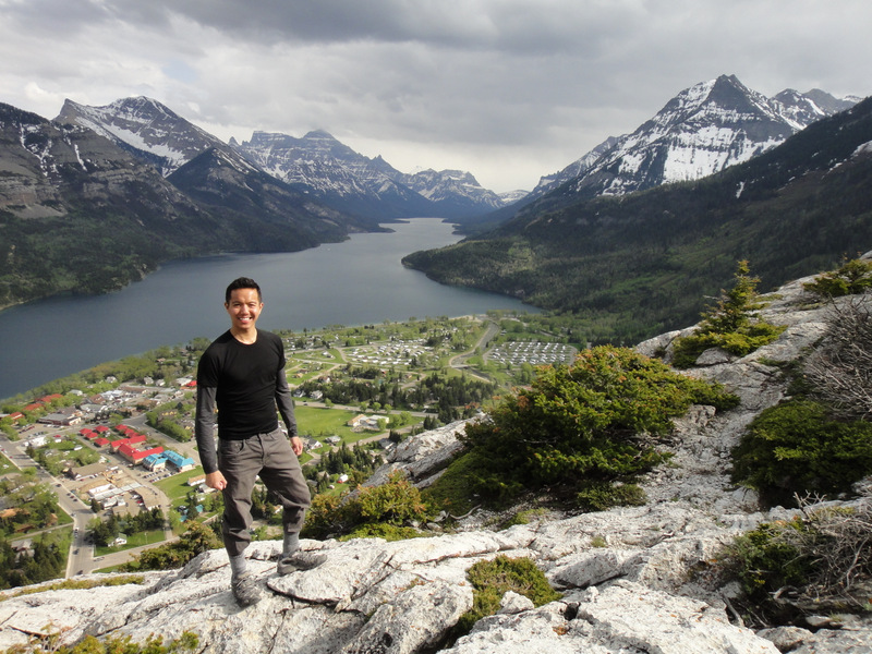
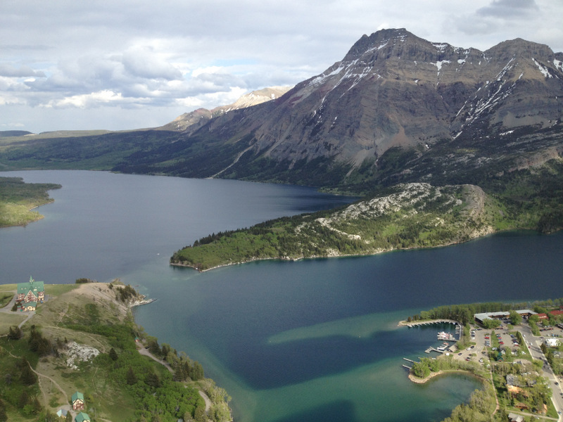
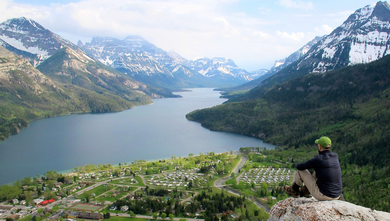
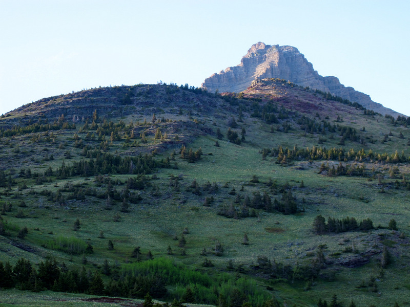
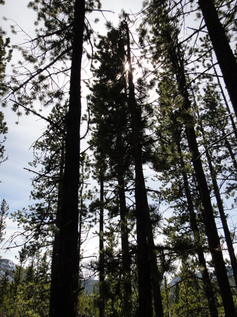
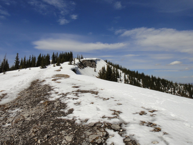
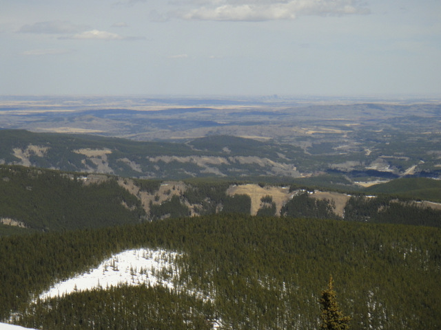
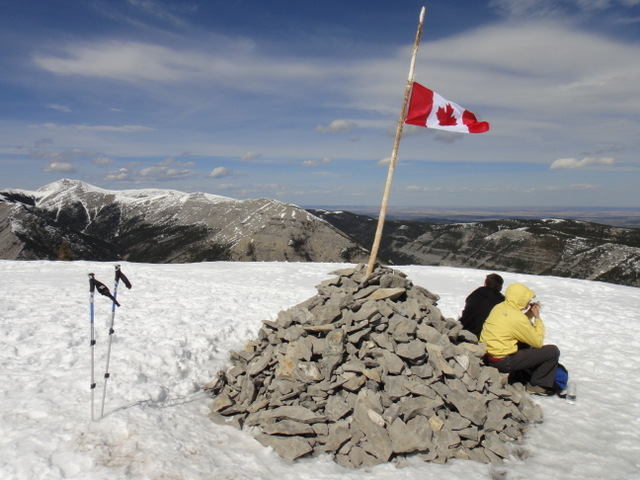
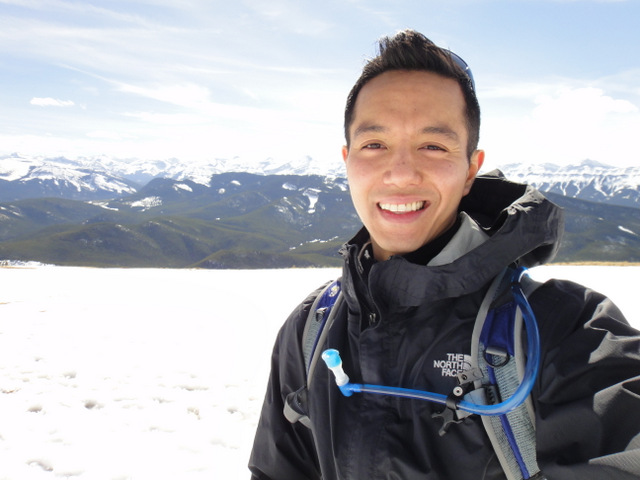
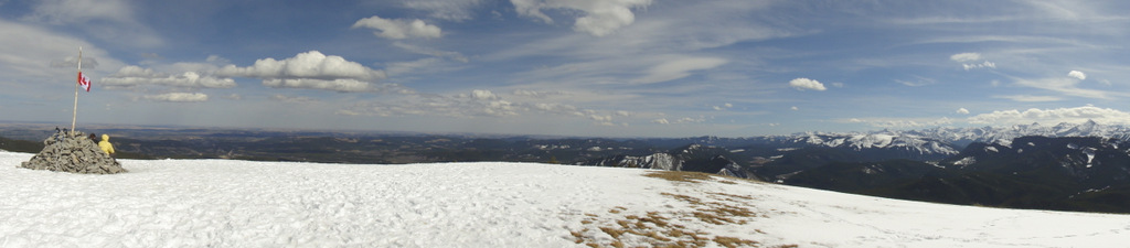
I had done some research before the weekend and discovered that hiking to Bear’s Hump was a must-do when visiting Waterton. The incline is pretty steep, but it’s a relatively short hike with 45 minutes to the summit. Regardless, we were decked out in hiking gear, our day-packs loaded with food and water, and we were ready to go. First stop- the information centre. We wanted to be sure that there was nothing to worry about (*cough* bears). It turns out, spring is tick season. The worry wasn’t the bears… it was the ticks! And they didn’t sugar coat it: “Many people get ticks on Bear’s Hump.” Hmm. That didn’t stop us though. Their recommendation was to tuck in our pants into our socks. We complied, and boy did we look like fashionable hikers. But it seemed we were the only ones, since we passed many teenagers, children and infants in T-shirts, shorts and running shoes with ankle socks. Oh well… it’s better to be protected against ticks than have them burrow into your skin. Gross. In the end, ticks or not, the climb was absolutely worth it. For a short hike, the views are so rewarding. Waterton lies below, boats ferry passengers on the lake, and the majestic mountains stand tall in the background. Incredible.
 |
| The summit of Bear’s Hump |
 |
| View from Bear’s Hump |
 |
| Prince of Wales Hotel (lower left) from Bear’s Hump |
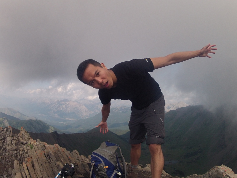
 |
| Thinky |
We arrived back at the car and checked for ticks for a good 10 minutes. God knows those things could puncture one’s heart, so you can never be too careful. It was still early in the evening, so we decided to visit Red Rock Canyon. The red rocks juxtaposed with the lush greenery as the sun set behind snow-capped mountains made for one of those moments when you realize that there are some truly spectacular places out there. It also made me realize that there’s just too much in this world to see and never enough time or money, *sigh*.
 |
| Red Rock Canyon- gorgeous! |
 |
Important Instructions:
1) Dive over the fence into the canyon during the day.
2) Teleport back to the fence at night. |
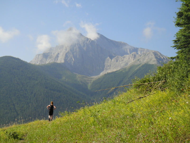
After Red Rock Canyon, it was time to find some food. A quick walk along Waterton Lake was followed by gorging at Zum’s restaurant, where apparently they have the World’s Best Fried Chicken!!! Note… I didn’t try the fried chicken, but I’ll make it a point to do so next time. It’s world famous, after all.
 |
| Walking along Waterton Lake at sunset. I’m happy to be here! |
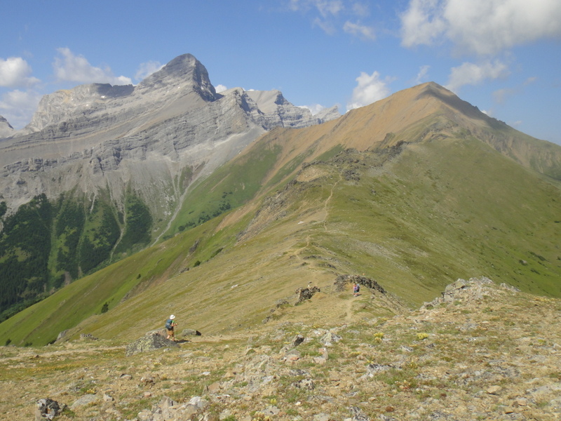
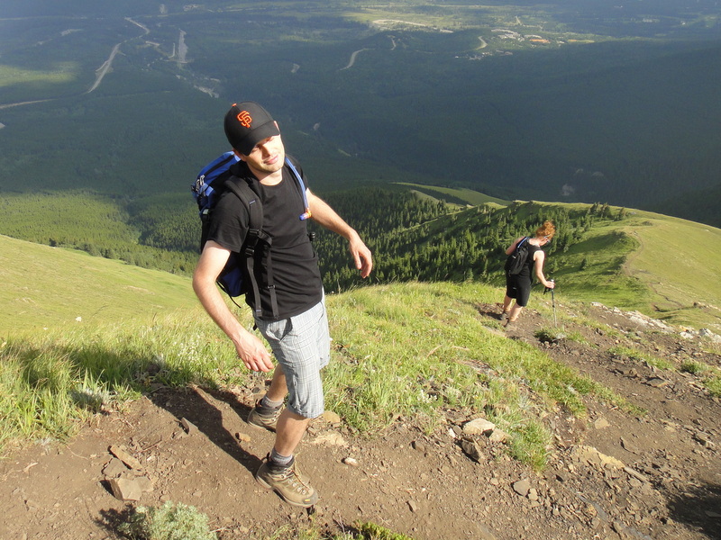
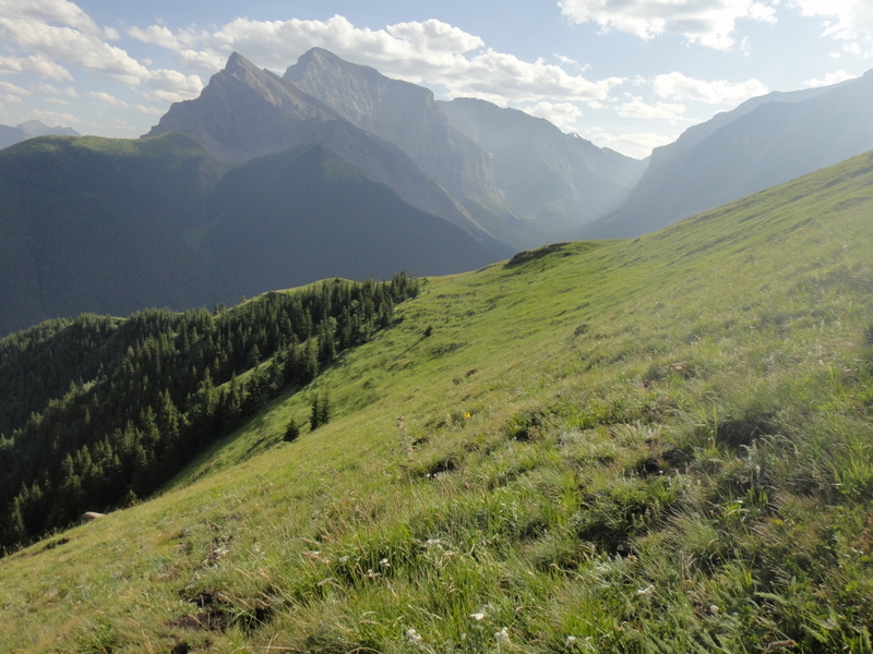
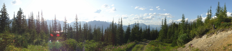
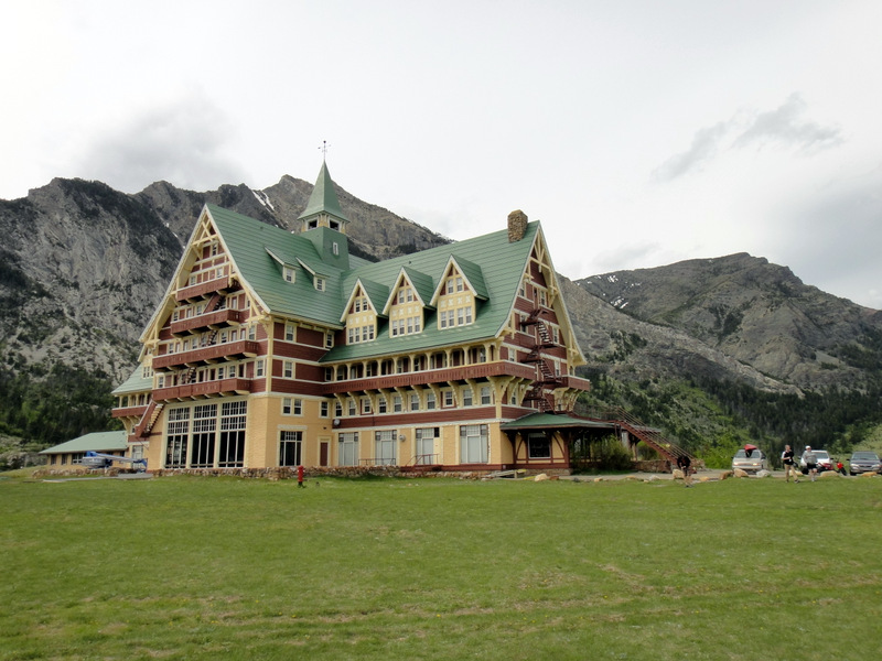
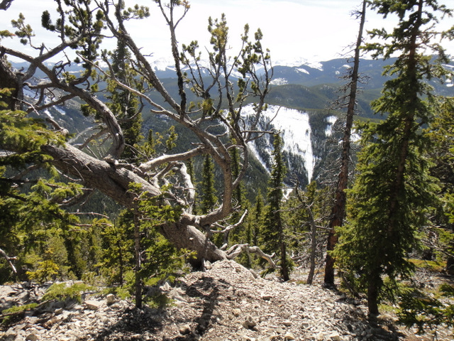
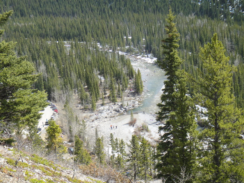
On Day 2, we opted to hike to Bertha Falls, which is a short hike that starts near the south end of Waterton Village. The roundtrip time was about an hour and 45 minutes with an elevation gain of 150 metres. It may not have been intense, but the climb was enough to give a fantastic vantage point for the mountains surrounding Waterton Lake. After the hike, we geared up to head back to Calgary, but not before making a quick stop to check out the
Prince of Wales Hotel, the most recognizable landmark in Waterton.
 |
| Hiking to Bertha Falls with breathtaking scenery |
 |
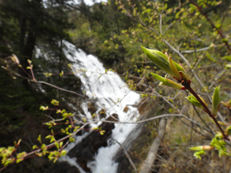
| Bertha Falls |
 |
| The Prince of Wales Hotel |
Waterton turned out to be a fantastic, relaxing getaway, and we completed the three things we set out to complete: summiting Bear’s Hump, visiting Red Rock Canyon, and hiking to Bertha Falls. I had been wanting to visit Waterton for years, and it did not disappoint. Until next time… and there will definitely be a next time :). One thing I discovered is that there’s a well-known challenge posed to hikers in Waterton. Wait… a challenge?! Anyone who knows me knows that I like to make lists and take on challenges. This one is called the
Triple Crown of Waterton. The challenge: To complete three awesome hikes –
Crypt Lake,
Akamina Ridge, and the
Alderson-Carthew Summit – all in one summer. I had to look this up once I got home, and wow… these hikes look incredible. I’ve always wanted to hike Crypt Lake: after taking a ferry from Waterton Village to the Crypt landing site, the hike takes you through beautiful scenery, past waterfalls, through a natural tunnel, and along a cliff ledge with support cables. The other two seem like amazing treks with challenging ridges and fantastic views. After looking at the photos and reading about these hikes, it didn’t take very long before I added the Triple Crown of Waterton challenge to my list. I may even go for the new
Fantastic Four challenge through the International Peace Park: 4 days, 4 trails, 2 countries (Crypt Lake and Alderson-Carthew in Alberta, and the Garden Wall and Siyeh Pass in Montana). Where do I sign up? 🙂
 |
| Leaving Waterton. Don’t worry- I’ll be back… 🙂 |