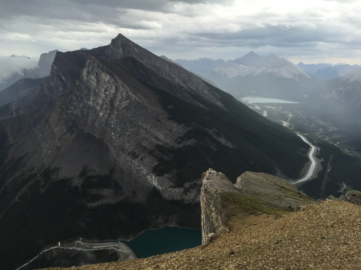
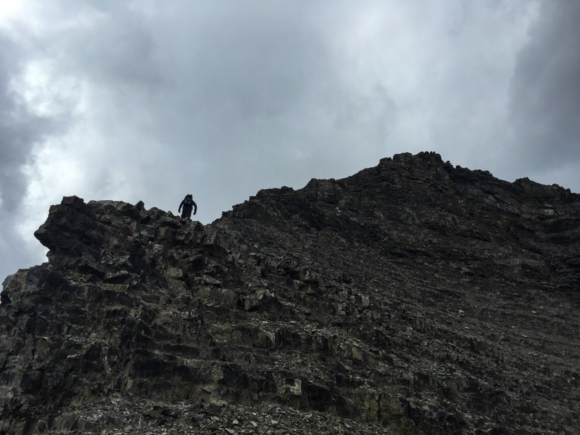
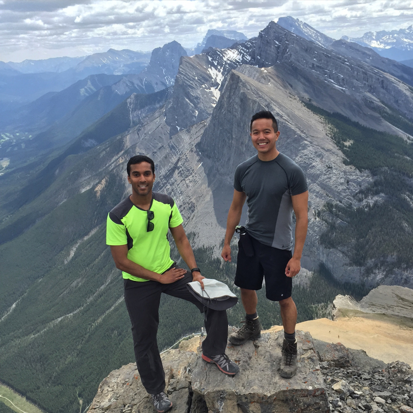
The East End of Rundle is becoming a go-to favourite for me! With a round trip time of about 4 hours, this hike offers a forested and rocky ascent with gorgeous views of Ha Ling and the surrounding Spray Valley. A short, yet super fun scramble with a bit of exposure greets you before the summit. My friend Dan, who was visiting for another mountain adventure, was up for epic hikes, and I knew EEOR would be a great after work accomplishment.
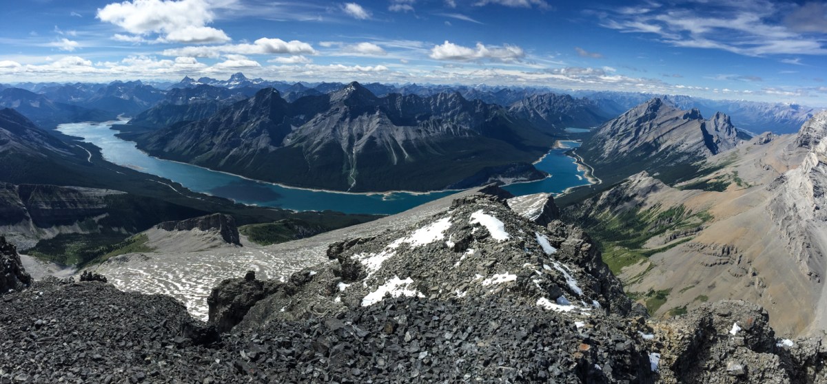
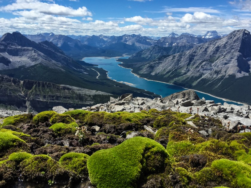
I am a glutton for punishment. Why would I hike Mount Sparrowhawk for a third time??
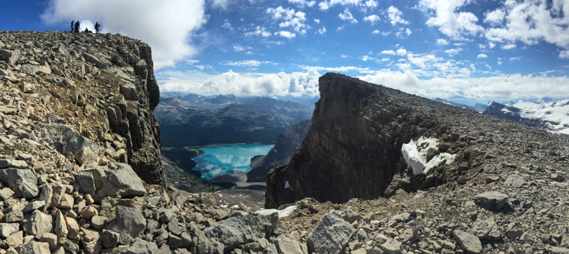
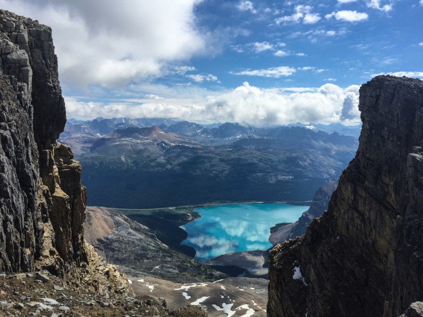
Well, Sparrowhawk probably has the best summit views that I have ever seen in the Canadian Rockies, so even though the hike is quite epic, long and exhausting, it’s worth it. At 3121 metres (10,240 ft), it’s the highest peak in the area. The third time around, I was hopeful I would beat my time of 8.5 hours, but alas, we did not.
Thursday July 2. And that was Peyto Hut, our cozy abode for 2 nights. After an oatmeal breakfast we packed up and cleaned up. One of my tasks was to empty some leftover bison stew and pasta into the outhouse. It is not a fun thing to do. The outhouse, as you can imagine, has a strong pungent stench of the excrement of many mountaineers. And in I go, with bowls of food, to throw the leftovers into the hole. It’s a whole lotta smells!
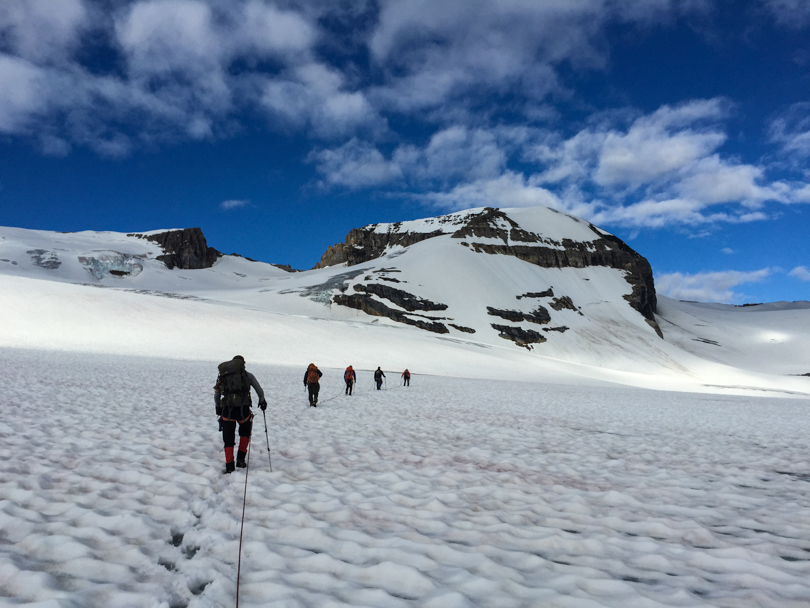
Wednesday July 1. Happy Canada Day! At 7:30 am, after a heaping breakfast of eggs, bacon and hash browns, we assembled our gear and descended from Peyto Hut. In the distance, Mount Habel rose to the sky- glaciated on either side, snow covered in parts, and rocky as expected. At an elevation of 3087 metres, this would be the peak that we would conquer. The only thing that stood between us and the summit was the ice… no big deal. The previous night, there was a huge thunderstorm of rain, hail, cracks of thunder and flashes of lightning. The rain melted some of the snow leaving the ice exposed and the remaining snow a land of slush.
East End of Rundle. Or EEOR, as it’s commonly known. It’s a relatively easy scramble with the potential for sections with lots of exposure.
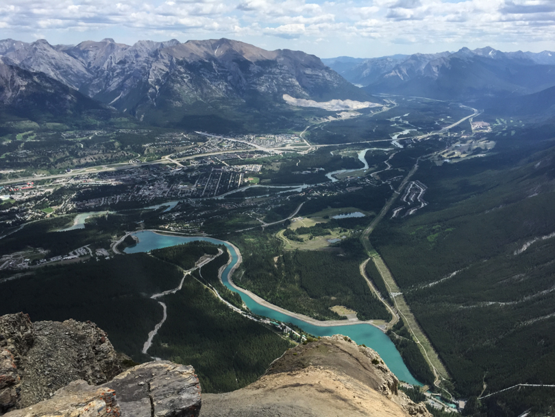
On this particular day, the weather was gorgeous and it seemed like everyone and their dogs wanted to hike either Ha Ling or EEOR. I have never seen the Goat Creek parking lot so busy! If you drove from Canmore to the Goat Creek parking lot, a quick walk back along the gravel road will take you to an electrical pole near the Bow Crow Forest sign. The trail starts there. The ascent is pretty straight-forward, and once you get to through the forest you can either head right and scramble up the steep rocks along the edge, or head straight up, through the gully to the ridge. This was my second ascent of EEOR and I’ve only ever scrambled up the right… which is super fun if you don’t mind a bit of exposure. Unfortunately, I never seem to get the descent right. Both times I’ve landed in a super steep gully, which apparently isn’t the more popular way. Oh well- better luck next time! All in all, it’s a 4 hour round trip scramble at a pretty quick pace for some pretty incredible views. Not too bad for a morning stroll…