A Step to the Loppet

XCSkiing-1
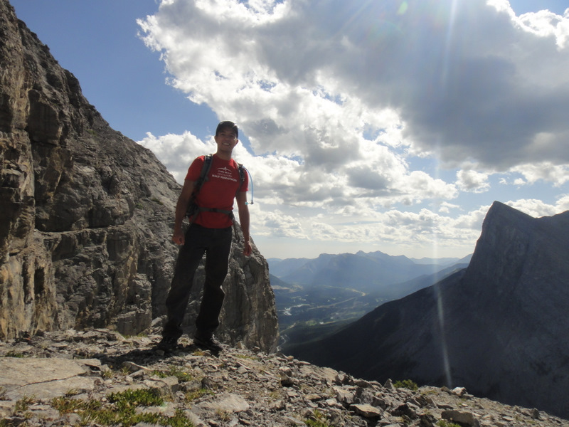
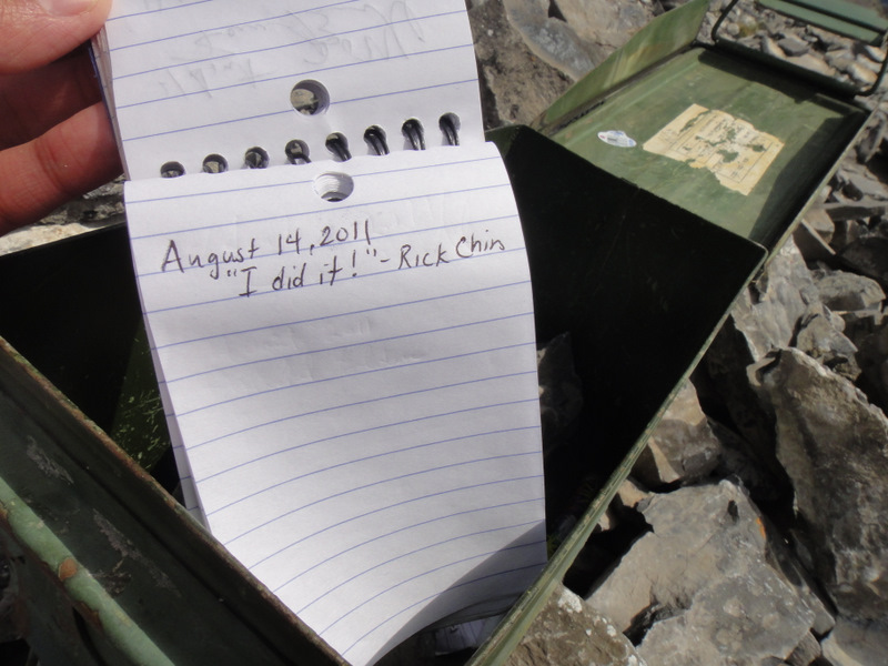
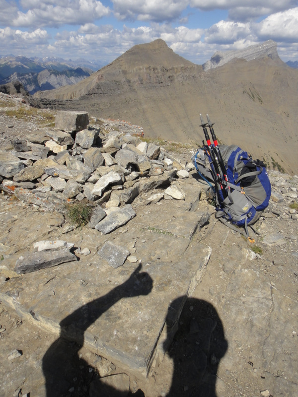
In general, I like races. Running races, obstacle courses, and distances with a goal in mind. So it’s no surprise that I added “Complete a loppet race” to my list… before I really knew what a loppet race was! Think of marathoning, but with cross-country skis. In order to complete a loppet, I guess I should learn to XC ski. And not just learn, but learn well. The course last year was great instruction for practicing the basics of form, stride and technique, and now it’s all about just getting out there and perfecting them.

XCSkiing-2

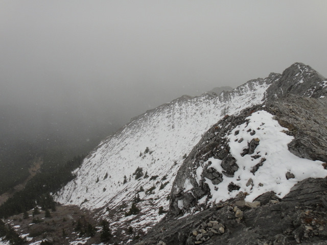
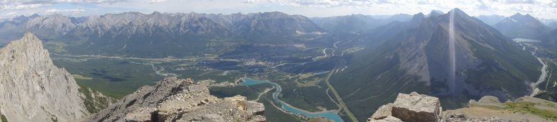
For two weekends now, I’ve been able to go XC skiing at the Canmore Nordic Centre. The first time at the nordic centre was with Robbie, and it was the first time we had XC skied since taking the course. I’d like to think we were in fine form, but I know there’s much practice to be done. I realized after that session how great of an aerobic workout this sport is! Like, a full body workout. It even manages to work the core quite well! I also learned that one does not simply become a pro overnight! This past Saturday was with my friend Adriane, and after completing the Banff Loop, we decided to take a less-travelled track which was ‘lovely’, as Adriane would say. Full disclosure, I did fall 3 times. I suppose that’s okay for being a beginner, but unacceptable by loppet standards.

XCSkiing-3

So, I have it in my mind that I will get XC ski equipment at some point and train for the loppet next year. I have to be realistic with my injury situation and will need to cut back on my running goals due to the impact they would have on my foot. Instead, I’ve been thinking of low-impact alternatives. XC skiing definitely fits the bill… :).

A Short Hike with an Amazing View

Ha ling Peak at 2408 metres

When I think of shorter hikes that I’ve done, I think of Ha Ling Peak. It’s a majestic looking summit from Canmore, but after driving up Spray Lakes Road and parking near the trailhead, the elevation gain of 700 metres isn’t so bad.

Hiking in the rain :/

Robbie and I knew we wanted to get out of the city this weekend for a short hike, and our hopes were almost dashed when we realized it was going to rain each day. Alas, we headed out to Canmore anyway with fingers crossed that the rain would clear up completely and the skies would be incredibly blue and beautiful. That’s what The Weather Network said would happen. What were the chances, right? Either way, we were determined to hike. I had conquered Ha Ling Peak once before, and I figured it was a good one to  do :).

Scrambling to the summit

Well, once we started the hike, it started to rain. And then it poured. I can’t say it was miserable though. After hiking Mount Baldy on Friday in the rain, the rain didn’t bother me so much. I was just bummed that we wouldn’t be able to see the amazing views of the surrounding mountains and Canmore below from the summit.

Almost at the summit with Canmore below

But then it happened: the skies began clearing, and before we knew it, the sun was shining brightly and the sky was a gorgeous blue. What were the chances? I guess a weather forecast can be right from time to time :).

Finding a geocache and leaving a magic towel

The hike through the trees and the scrambling section to the summit were strenuous, but persevering up the mountain was completely worth it! We took in the scenery, stopped to eat our lunches, fought off some chipmunks who tried to steal our lunches, and even found a geocache. Geocaching is lotsa fun :). We started the hike at 3:15 and finished at 7:30… not too bad at all. What began as a rainy hike ended in a beautiful one.

Pure evil. Or super cute. Either way, this critter tried to steal our food!
Ha Ling- we conquered you!

A Winter Hike at Grassi Lakes

GrassiLakes2011-1
Grassi Lakes

Wow, it’s been a while since I’ve posted a hiking-related entry. That’s probably because evil winter came, and along with it, snow and cold weather. I don’t really like cold weather :(. I often want to punch winter in the face. But I don’t mind winter activities even though I don’t partake in them very much.

Well, today, friends Robin and Tushna and I decided we would head out to Canmore for a winter hike. You know, ’cause nature is pretty cool and stuff. The temperature was remarkably mild for this time of year and the sun was shining, so it was the perfect day for a trail. After stopping off at an information centre in Canmore, we decided on the Grassi Lakes hike, which I had wanted to do for quite some time. Grassi Lakes wasn’t so grassy, but the snow cover made everything look beautiful. I wouldn’t call the trail strenuous by any means, and it took maybe 1.5 hours, but it was a really nice little hike after being on a hiatus for a couple of months :). And the company was great as always- lots of chatting and laughing and jokes. The perfect way to spend a Saturday afternoon!

GrassiLakes2011-2

GrassiLakes2011-3

GrassiLakes2011-4

GrassiLakes2011-5

Hiking and Caving Shenanigans

I’m happy to be caving!

Shenanigans are the best kind of nanigans. And where there’s shenanigans, usually Dan’s around. So yes, Dan was visiting 2 weekends ago for some hiking and caving adventures! I know, I’m a bit behind on my postings. Back off already! But since I haven’t been keeping up, I will conveniently hi-jack Dan’s blog postings about the weekend and link them here. However,  I will also share some photos and videos of the epic weekened. EPIC I says.

1) Read all about the great hike at Nihahi Ridge here:

“All The Classy Bitches Drink Mountain Top Scotch”

2) All the going-ons about the caving adventure at Rat’s Nest can be found here:

“It’s a Dark Wet Hole. It Must Be Fun.”

Nihahi. Third time is a charm :)
Nihahi. Third time is a charm 🙂
Shenanigans.
Shenanigans.
Typical
Typical
At the summit. The snow was rolling in…
Snowy Nihahi
Snowy Nihahi
All the Classy Bitches Drink Mountain Top Scotch
Scrambling is fun!
Scrambling is fun!
It was cold. Very very cold :S.
Having already climbed Nihahi, Sergeant Stroker stayed  home and relaxed. A little too much.
Having already climbed Nihahi, Sergeant Stroker stayed
home and relaxed. A little too much.
The adventurous group, ready for caving!
All smiles waiting for the rappel
Dan and I happy to be adventuring
Rappelling 18 metres into the cave
Crawling through some tight spots
Chloe diving into the Laundry Chute. Chloe, NO!
Just relaxin’ in the cave
A column. Very cool.
Exploring the cave
Exploring the cave
So much to see down in the caves
We made it out alive! Yay :)
We made it out alive! Yay 🙂

The East End of Rundle

Ascending to The East End of Rundle (in the background)

Continuing with my summer trend of not letting a weekend pass me by (especially when the weather is awesome!), today I decided to hike to The East End of Rundle (EEOR) near Canmore. This was a solo hike mainly because I wasn’t convinced I would actually go for a hike after running the 10K the previous night, and therefore, didn’t want to coordinate it with anyone. I figured I would be quite achy, but it turns out I was okay. So rather than rest up for the week, I was awake at 7:30 am, ate a quick breakfast, and headed out to the mountains!

Admiring Ha Ling from the trail to EEOR

Recall that at the end of the Ha Ling Peak blog posting, I threatened EEOR by saying “I WILL conquer you!” And that I most certainly did! EEOR’s elevation is 2590 metres with an elevation gain of 900 metres. The trailhead for EEOR is opposite that of Ha Ling, and it’s a pretty steady hike up with an easy-to-follow trail. The view of Ha Ling from EEOR is pretty amazing. Ha Ling looks so daunting…

Perfect weather for a hike. Ha Ling in the background.
No worries, I wasn’t THAT close to the edge…
“I’m happy to be hiking!”
It’s pretty much a straight fall from this crazy rock face. Eek!

After passing through some trees, there’s a bit of a ridge with a crazy steep rock face, and then a scramble up to the eastern part of Rundle. The views at the top are incredible! This is one hike I would do again for sure. I very much enjoyed the scramble up, but the descent killed my knees as usual.

Hitting the early parts of the scramble
Looking back on how far I hiked. Great view!
Evidence of something… or someone! Ew.
Yatta! I did it! (The first point where I ate lunch.)
Panoramic view of the Canmore side from the top. Gorgeous!
Panoramic view of the other side. Also gorgeous!

Once at the top, there are two stopping points. I ate my lunch at the first, then traversed the top for about 5 – 10 minutes before hitting the second where I found a mysterious box! Actually, it’s not that mysterious. It houses a pen and notepad for signatures. And sign that notepad I did. I actually think I may have been the first one to reach that point today. Exciting!

The second point (on the left)
Once at the second point… a mysterious box!
I gone done that right there…

In terms of timing, I left the parking lot at 10 am, maintained a fairly steady pace all the way up with stops for snacks and photos, and finally reached the top at about 12 pm. After stopping to eat my lunch and then visiting the second point, I began my knee-destroying descent at 12:45 pm and arrived back at the car for 2:25 pm. Not bad, I’m thinking, though I was pretty slow coming down the mountain since my legs were on fire. Let’s see if I can beat my time when I hike EEOR again! 🙂 
Descending through a gully. This was not easy for me :S
And even through the trees, it was a steep way down.
East End of Rundle: “I conquered you!”