|
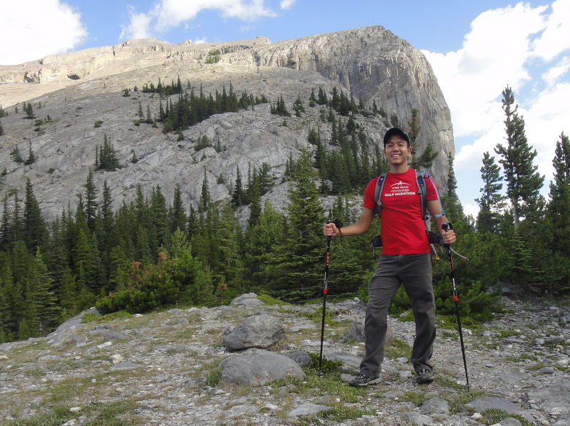
| Ascending to The East End of Rundle (in the background) |
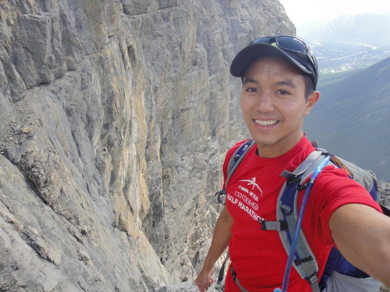
Continuing with my summer trend of not letting a weekend pass me by (especially when the weather is awesome!), today I decided to hike to The East End of Rundle (EEOR) near Canmore. This was a solo hike mainly because I wasn’t convinced I would actually go for a hike after running the 10K the previous night, and therefore, didn’t want to coordinate it with anyone. I figured I would be quite achy, but it turns out I was okay. So rather than rest up for the week, I was awake at 7:30 am, ate a quick breakfast, and headed out to the mountains!
 |
| Admiring Ha Ling from the trail to EEOR |
Recall that at the end of the
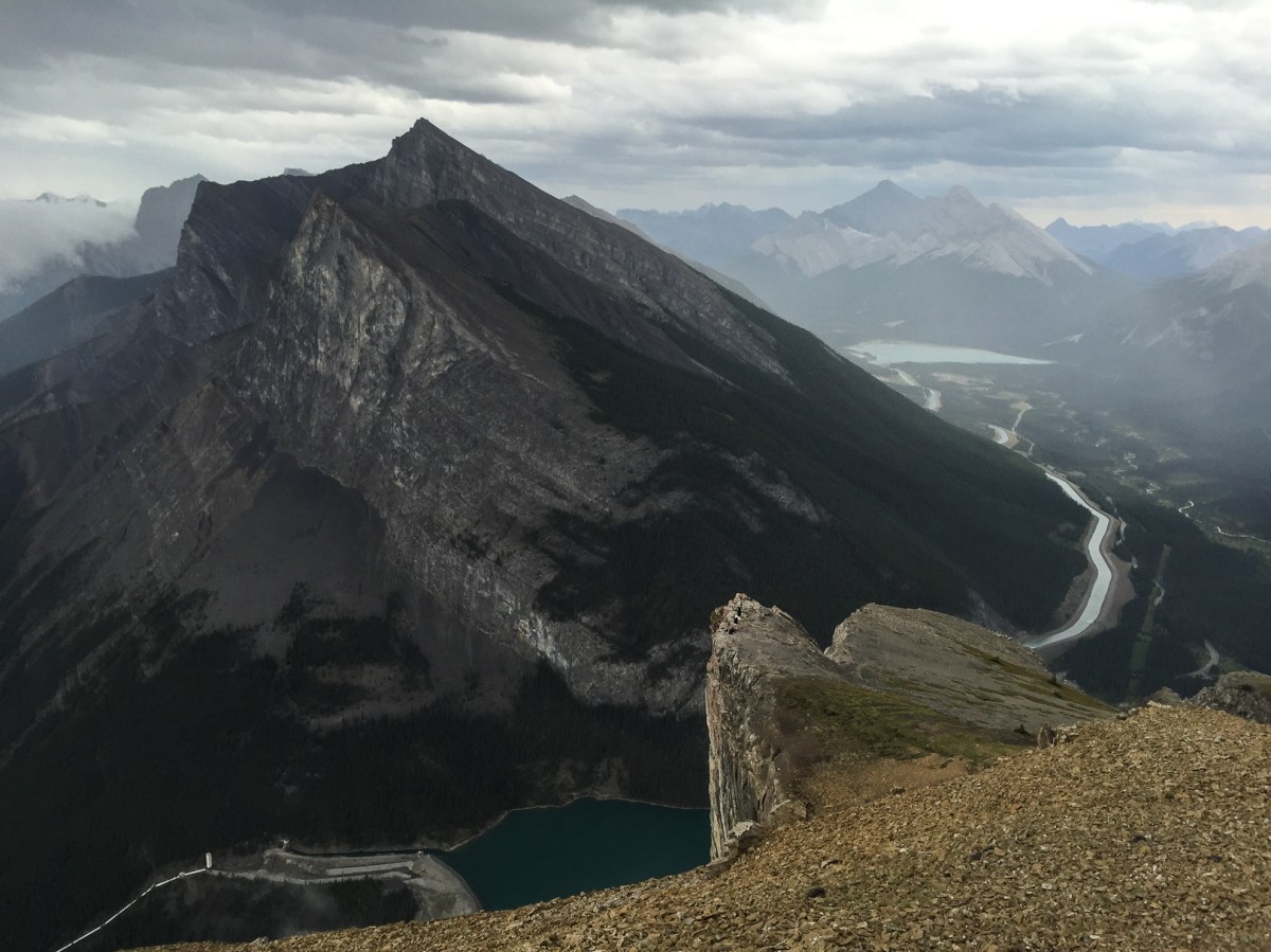
Ha Ling Peak blog posting, I threatened EEOR by saying “I WILL conquer you!” And that I most certainly did! EEOR’s elevation is 2590 metres with an elevation gain of 900 metres. The trailhead for EEOR is opposite that of Ha Ling, and it’s a pretty steady hike up with an easy-to-follow trail. The view of Ha Ling from EEOR is pretty amazing. Ha Ling looks so daunting…
 |
| Perfect weather for a hike. Ha Ling in the background. |
 |
| No worries, I wasn’t THAT close to the edge… |
 |
| “I’m happy to be hiking!” |
 |
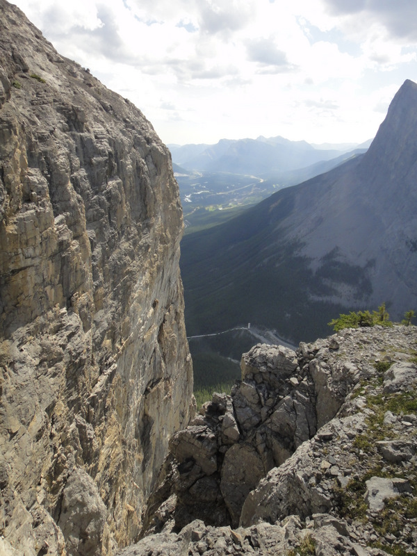
| It’s pretty much a straight fall from this crazy rock face. Eek! |
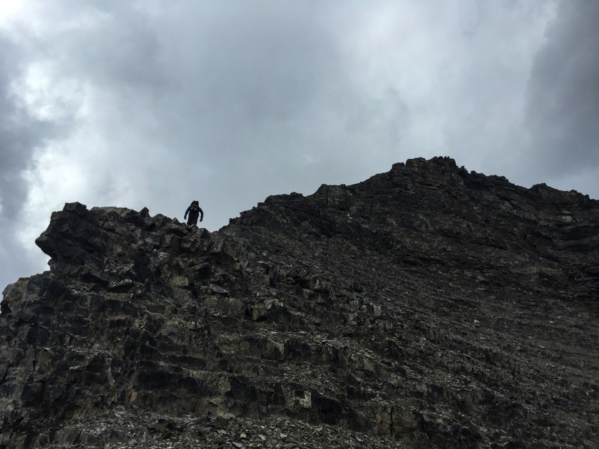
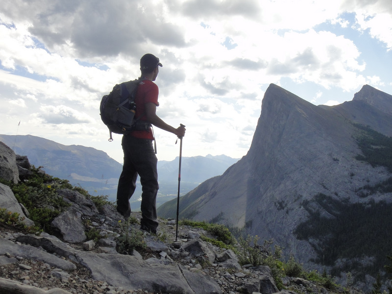
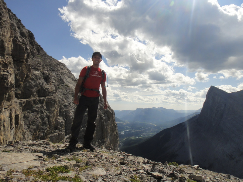
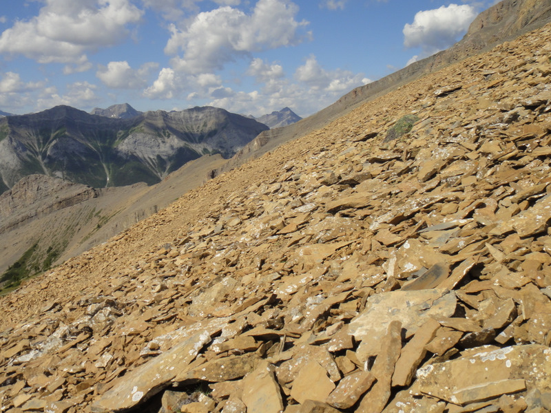
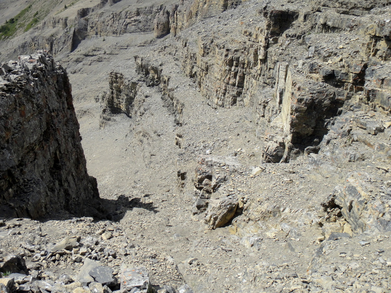
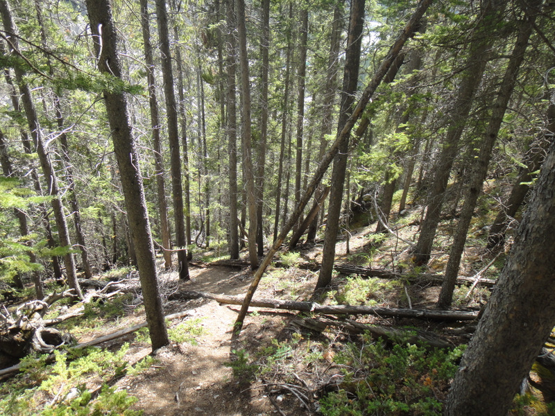
After passing through some trees, there’s a bit of a ridge with a crazy steep rock face, and then a scramble up to the eastern part of Rundle. The views at the top are incredible! This is one hike I would do again for sure. I very much enjoyed the scramble up, but the descent killed my knees as usual.
 |
| Hitting the early parts of the scramble |
 |
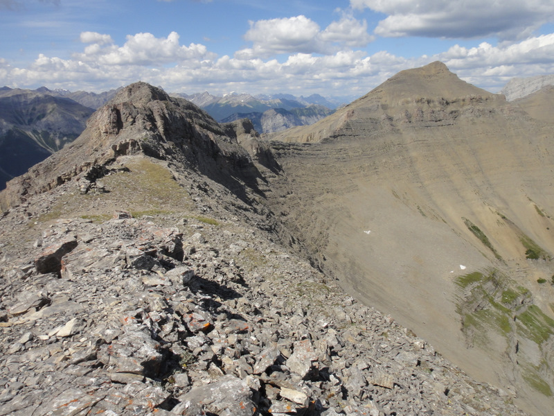
| Looking back on how far I hiked. Great view! |
 |
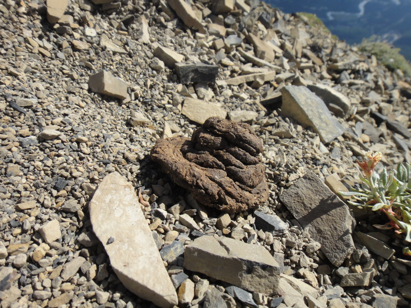
| Evidence of something… or someone! Ew. |
 |
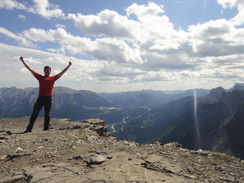
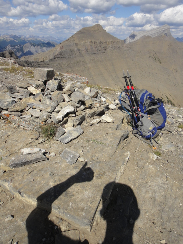
| Yatta! I did it! (The first point where I ate lunch.) |
 |
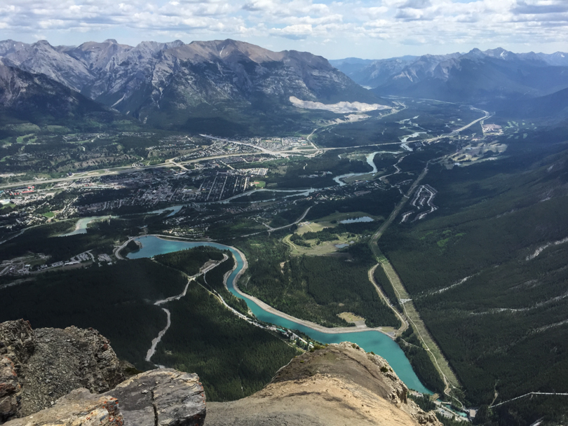
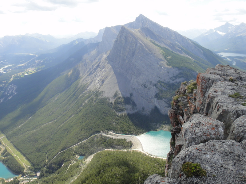
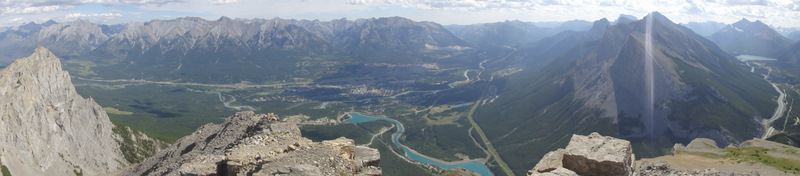
| Panoramic view of the Canmore side from the top. Gorgeous! |
 |
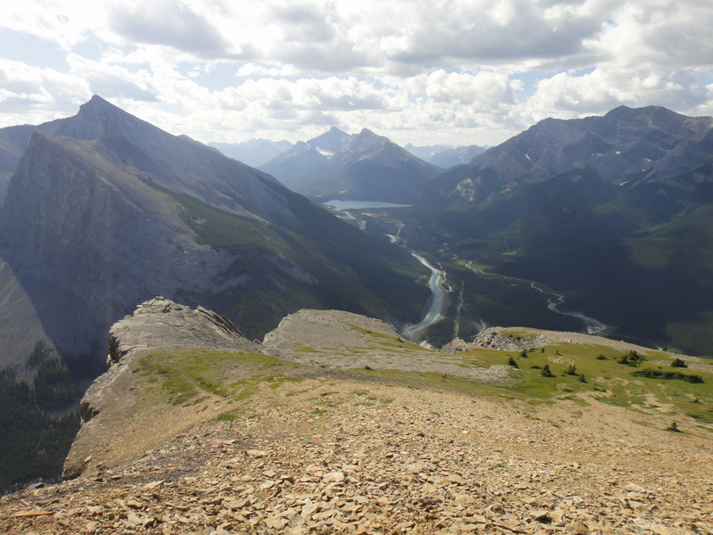
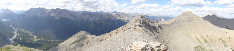
| Panoramic view of the other side. Also gorgeous! |
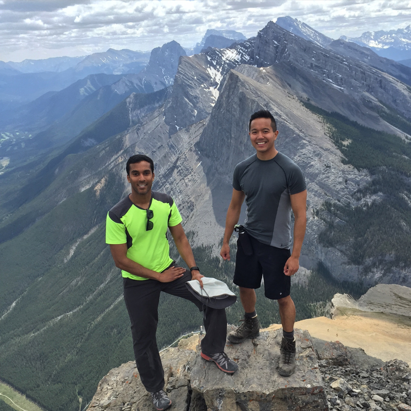
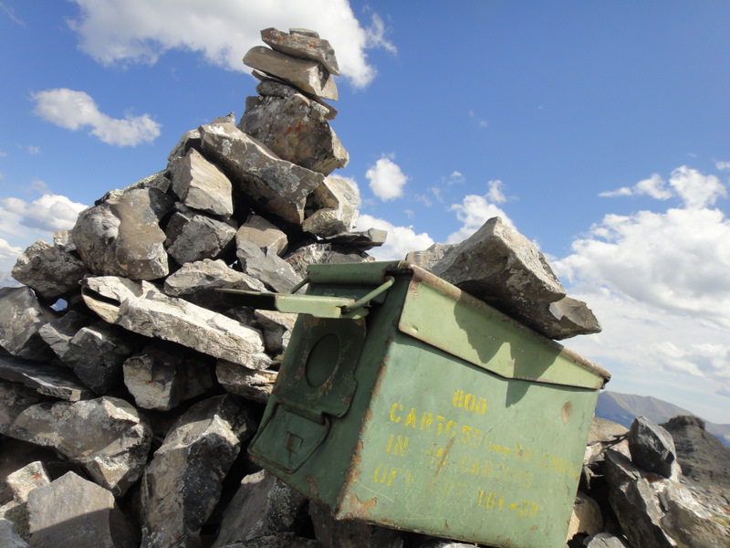
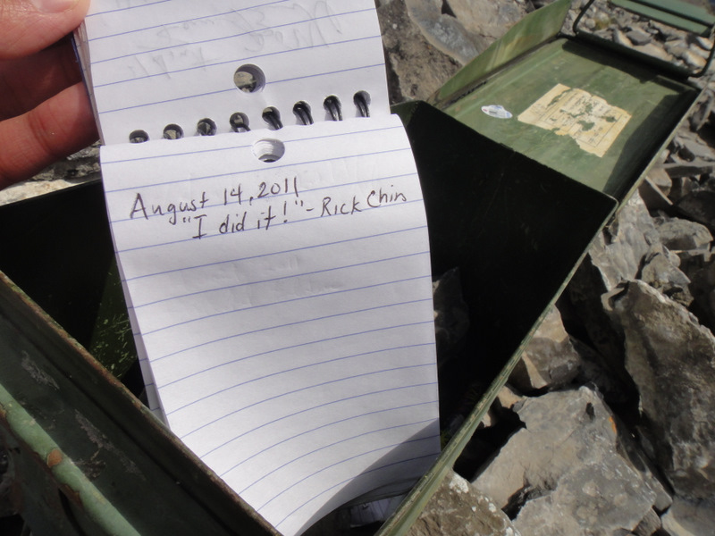
Once at the top, there are two stopping points. I ate my lunch at the first, then traversed the top for about 5 – 10 minutes before hitting the second where I found a mysterious box! Actually, it’s not that mysterious. It houses a pen and notepad for signatures. And sign that notepad I did. I actually think I may have been the first one to reach that point today. Exciting!
 |
| The second point (on the left) |
 |
| Once at the second point… a mysterious box! |
 |
| I gone done that right there… |
In terms of timing, I left the parking lot at 10 am, maintained a fairly steady pace all the way up with stops for snacks and photos, and finally reached the top at about 12 pm. After stopping to eat my lunch and then visiting the second point, I began my knee-destroying descent at 12:45 pm and arrived back at the car for 2:25 pm. Not bad, I’m thinking, though I was pretty slow coming down the mountain since my legs were on fire. Let’s see if I can beat my time when I hike EEOR again! 🙂
 |
| Descending through a gully. This was not easy for me :S |
 |
| And even through the trees, it was a steep way down. |
 |
| East End of Rundle: “I conquered you!” |