 |
| Unexpectedly, Grotto Mountain would turn out to be an EPIC hike! |
After my Prairie Mountain hike a few weekends ago, I was itching for more. I am so excited that summer in Calgary is just around the corner. For many, this means festivals in the city, running along the Bow River, or having drinks on a patio. Don’t get me wrong- I’m very much looking forward to those things as well. But what am I looking forward to the most? Heading to the mountains as often as I can, of course!
 |
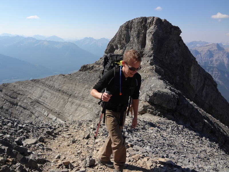
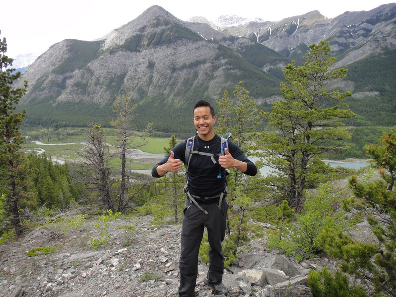
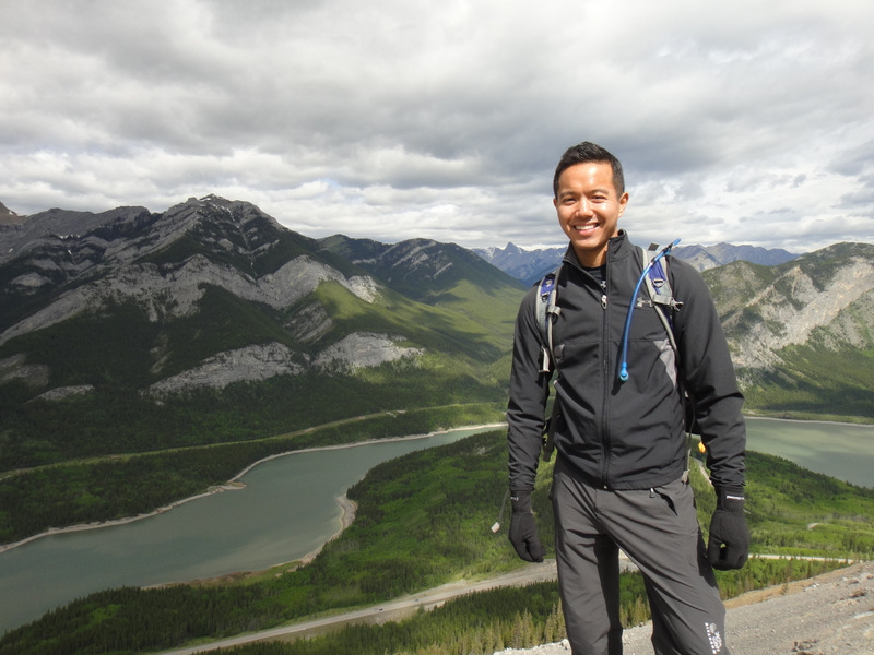
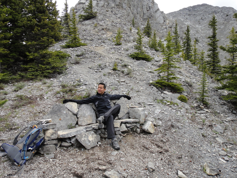
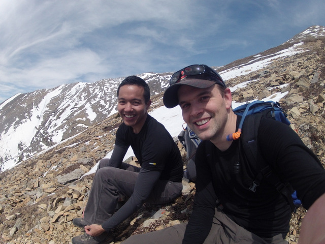
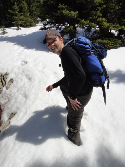
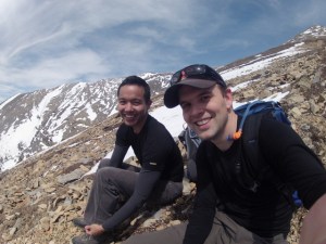
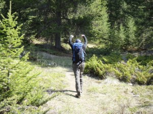
| My good friend Paul. Ain’t he funny? |
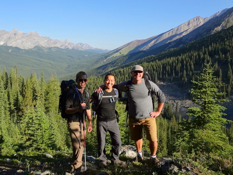
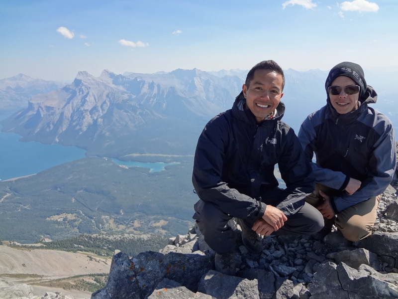
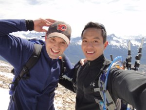
When I realized that the forecast for the Canmore area this past weekend was sunny skies and gorgeous weather, I knew I wanted to attempt an epic hike that I had never done before. When it comes to epic hikes, there’s only one person in Calgary that I turn to: my good friend Paul. I know I can count on him to hike up to those crazy mountain peaks, while hiking safely and providing hours of laughter. Our goal is one in the same: to choose a challenging scramble and make it to the summit unless unforeseen circumstances prevent us from doing so.
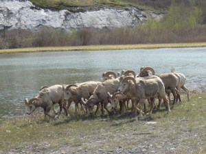 |
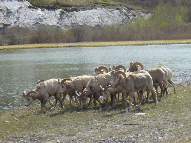
| Rocky Mountain bighorn sheep. So cute! |
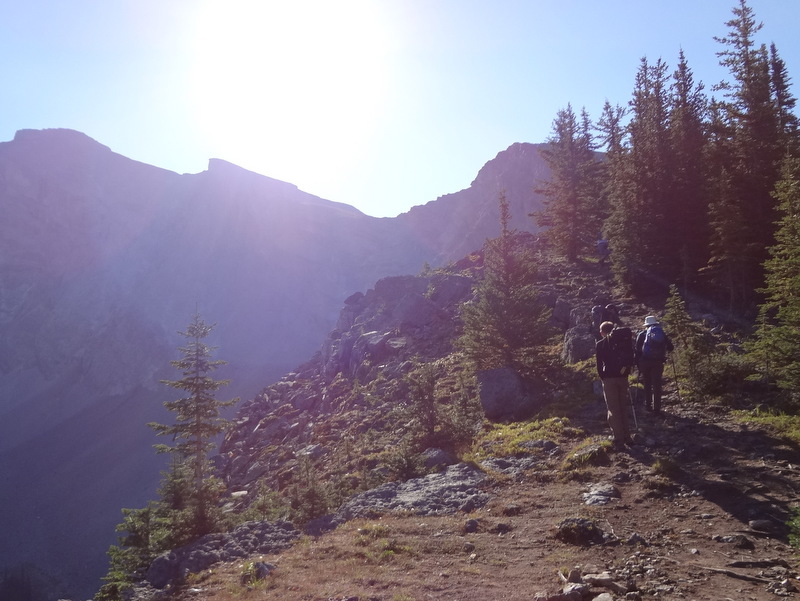
On Saturday, Paul picked me up and I was greeted with the requisite tall Starbucks blonde roast and a breakfast sandwich. Even though he was driving, it really was the least he could do. At this point, we had no idea which peak we wanted to summit, but we knew we wanted something that would leave us with a sense of accomplishment. After perusing Alan Kane’s “Scrambles in the Canadian Rockies” (which is the bible for scrambles in the Canadian Rockies), we decided to try Grotto Mountain off of Bow Valley Trail (Highway 1A) and close to Canmore. It was rated as an easy to moderate scramble, depending on the route, and should take 5 – 8 hours. We assumed it would take us 5, since we’re pretty fit and have done many scrambles before. Also, the book notes that it can be ascended as early as April, so we figured it would be a great choice. En route, we passed a herd of Rocky Mountain bighorn sheep before reaching the trailhead near the
Alpine Club of Canada.
 |
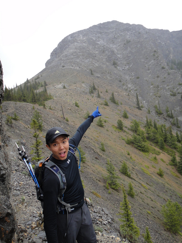
| Onward to Grotto Mountain! |
 |
| Paul scaring the bears before they can scare us. |
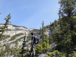 |
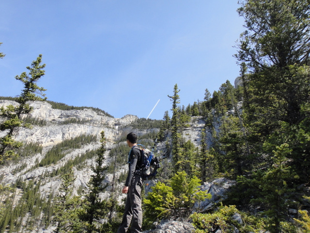
| A plane in the direction of the summit. A long way to go. |
 |
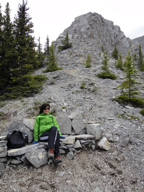
| Taking a quick snack break |
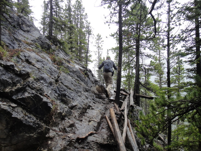
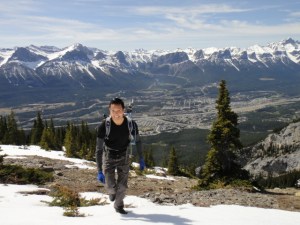
After a quick nature call (read: I had to go to the bathroom pretty badly…), we began the ascent of Grotto Mountain. As expected, the trip up felt strenuous. This was the start to the scrambling season for both Paul and I, so our legs began to feel the pain pretty quickly. I also decided to try out some boots for the first time on this hike, which was not a good idea at all. I could feel the rubbing on my feet and the beginnings of potential blisters. Fun!
 |
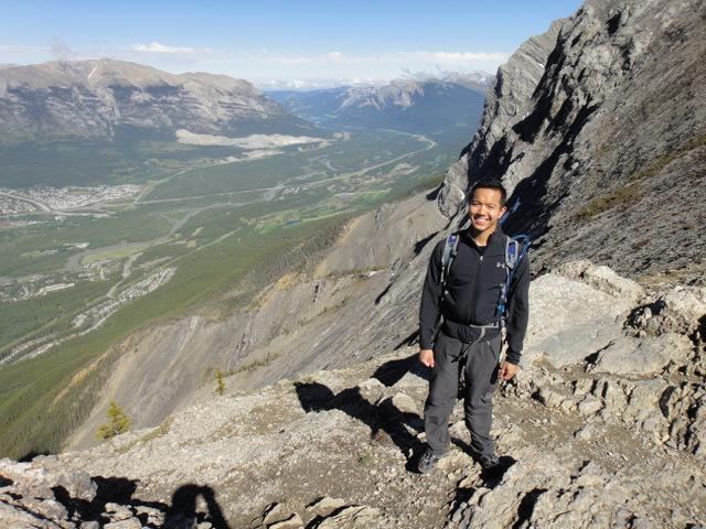
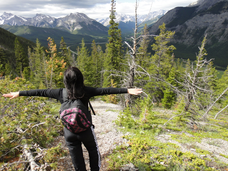
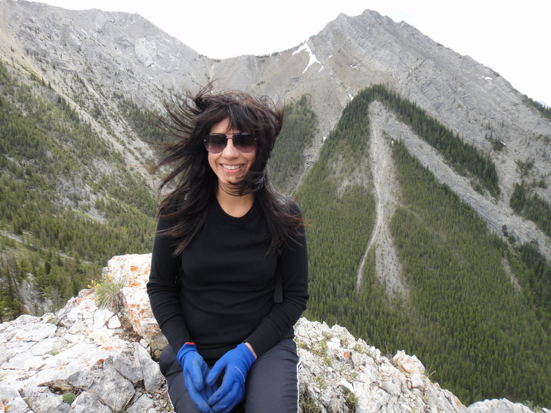
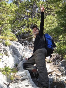
| I’m happy to be here! |
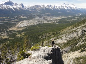 |
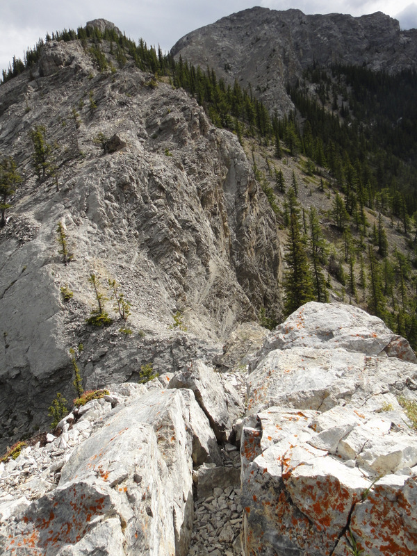
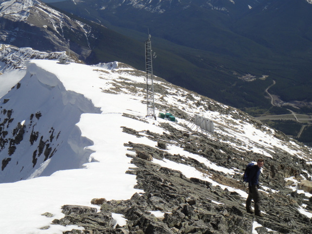
| Walking along the right side of the massive gully |
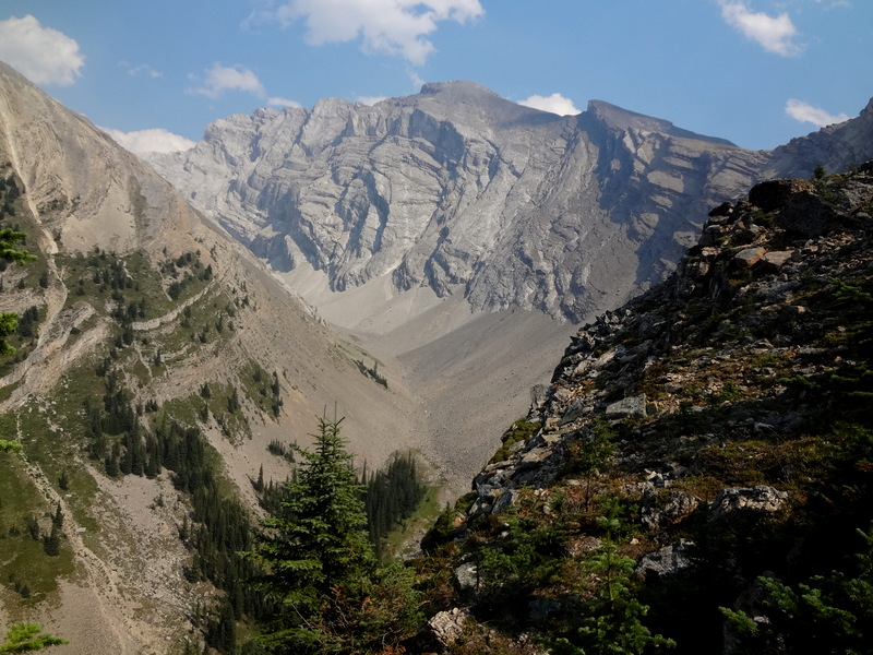
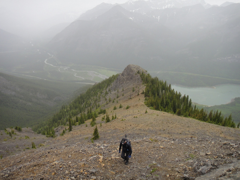
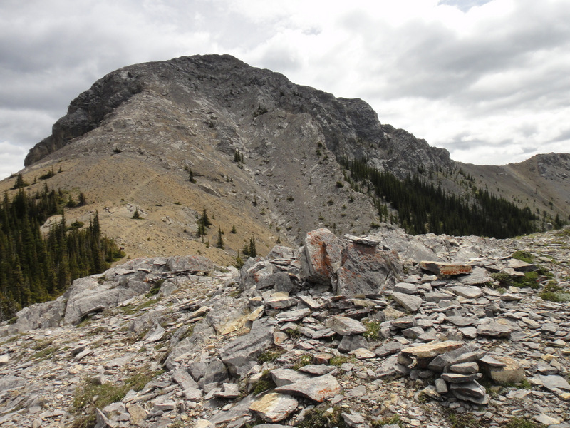
There is a massive gully system on Grotto, which makes for some spectacular, though sometimes scary, views. But as long as we stayed to the right of the gully, we would take the direct route to the summit. According to the Scrambles book, there was a northwest traverse route that probably would have been easier, but it was the brute-force direct route approach we decided to take :S.
 |
| Knee-deep in snow :S. |
 |
| I may be smiling, but I’m in a lot of pain here… |
 |
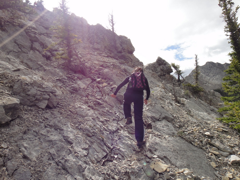
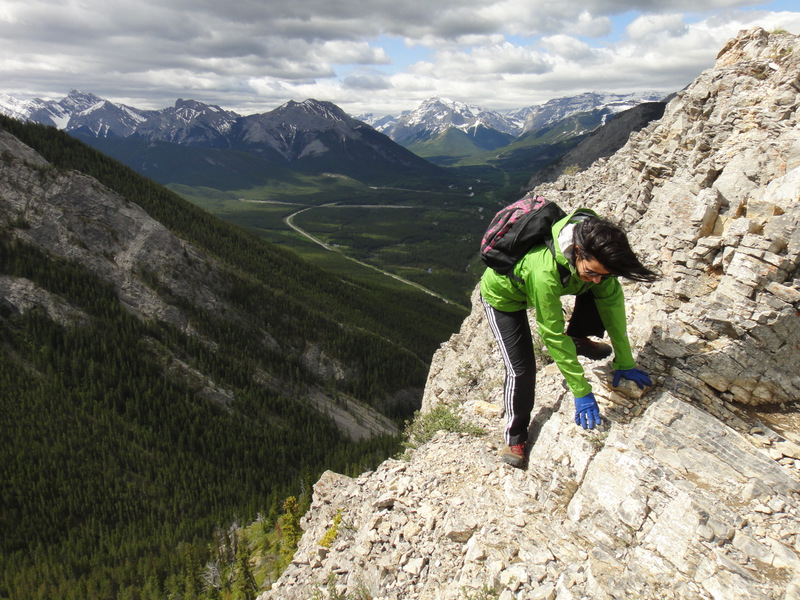
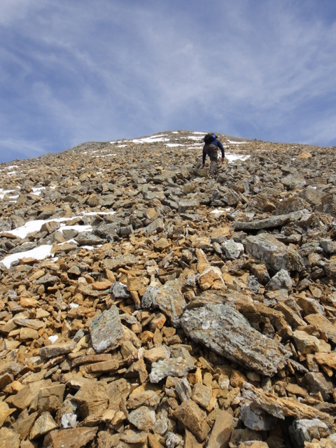
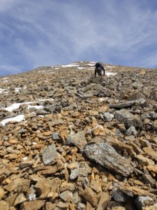
| Getting to the rocks and the scramble |
 |
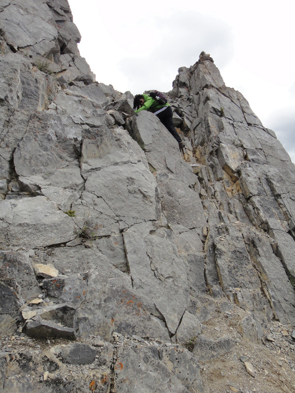
| Scrambling and snow. Awesome. |
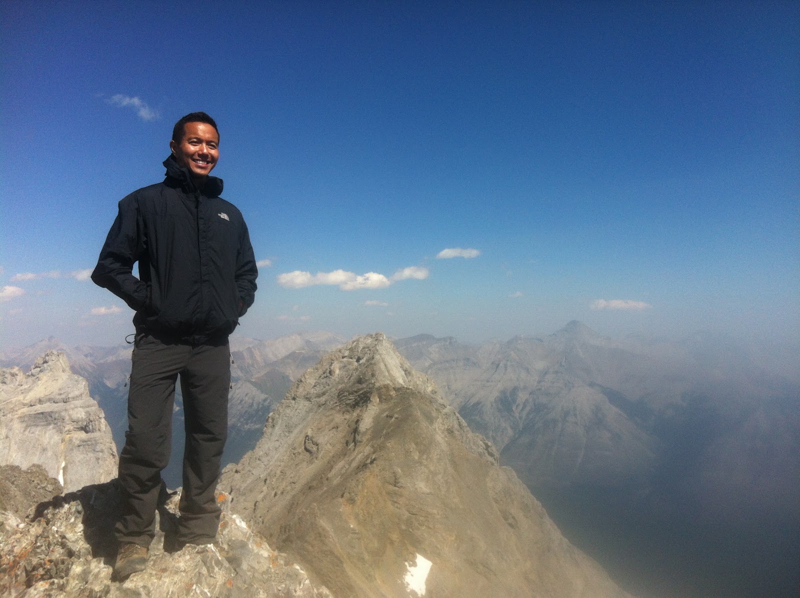
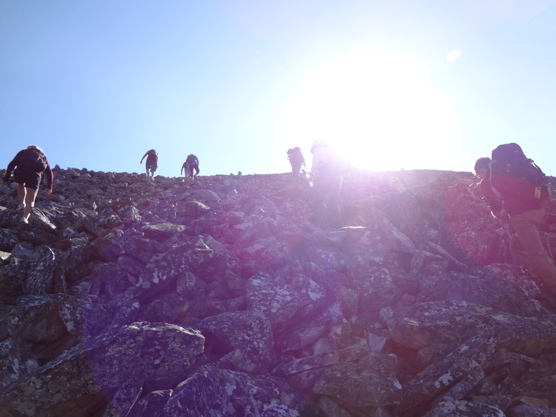
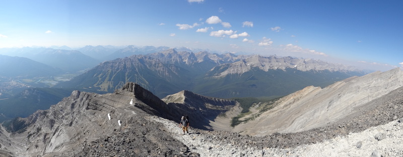
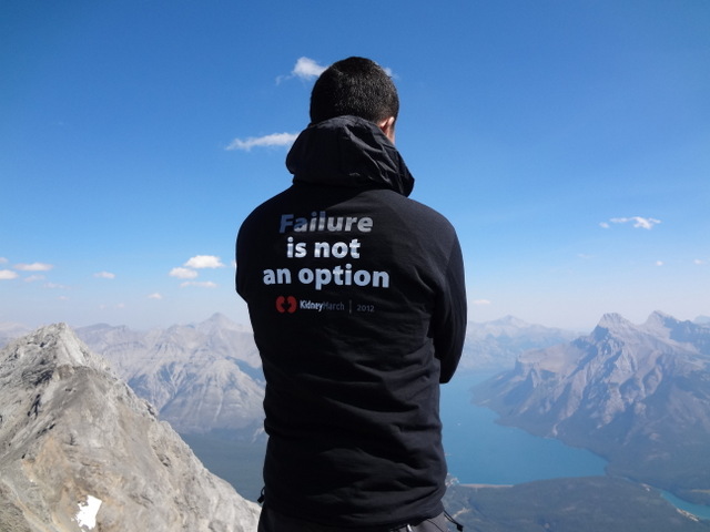
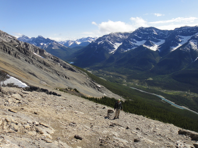
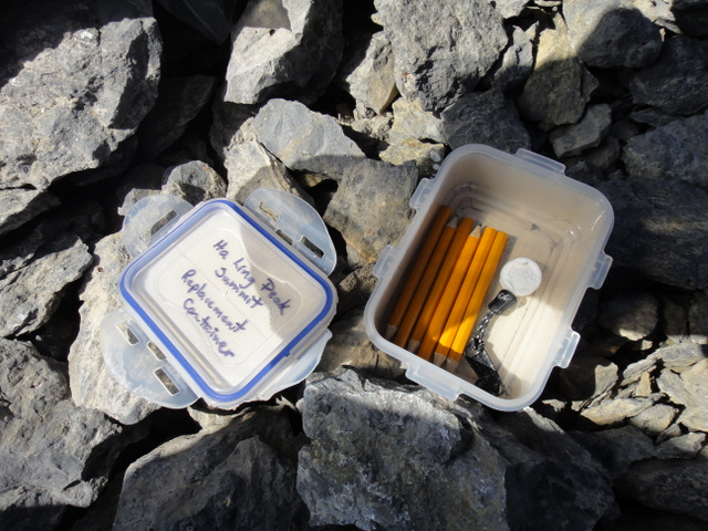
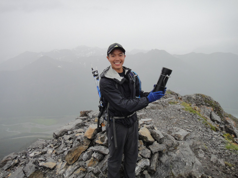
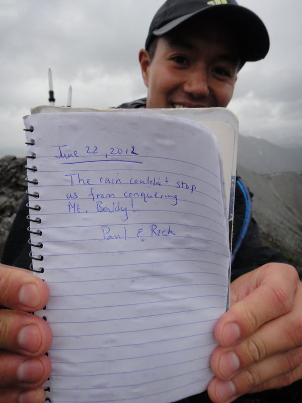
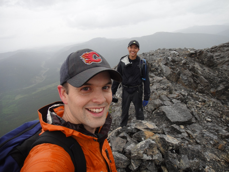
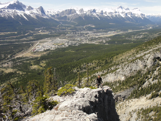
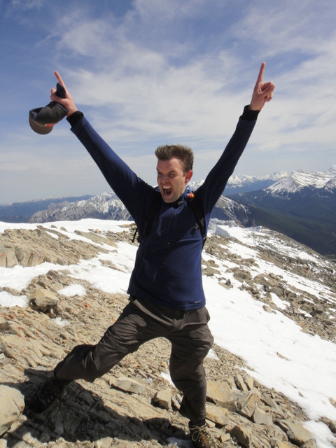
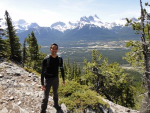
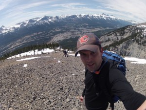
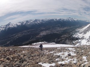
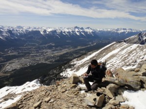
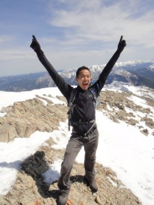
Things became a bit more complicated when we reached snow and had difficulty finding the trail, but we eventually figured things out. It was amazing to realize how deep the snow was in the mountains :S. Then we hit the scramble, which was quite intense due to even more snow. There were several times, for safety reasons, that we almost called it quits. But after much perseverance, we reached the summit. And, boy, were the views ever gorgeous. Throughout the entire ascent, Canmore sat in the distance below. We gradually passed Ha Ling’s elevation, and then East End of Rundle’s elevation, and countless other peaks. Snow-capped, majestic mountains surrounded us. At the top of Grotto, we found a canister (yippie!), which we gladly signed to celebrate our accomplishment. The wind was crazy at the top, so we didn’t stay long and quickly started down the mountain.
 |
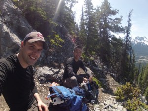
| The final stretch to the summit! |
 |
| “Amazing start to the hiking season. The snow made for an interesting ascent!” |
 |
| Typical. |
 |
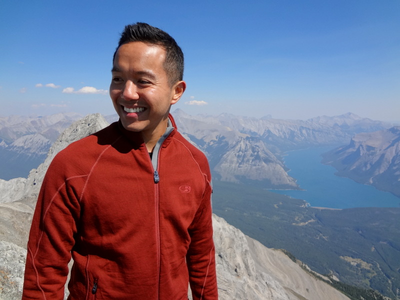
| W00t. |
 |
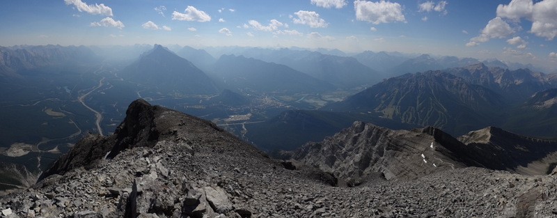
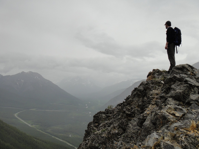
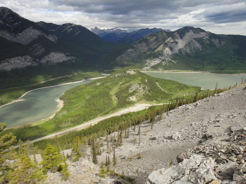
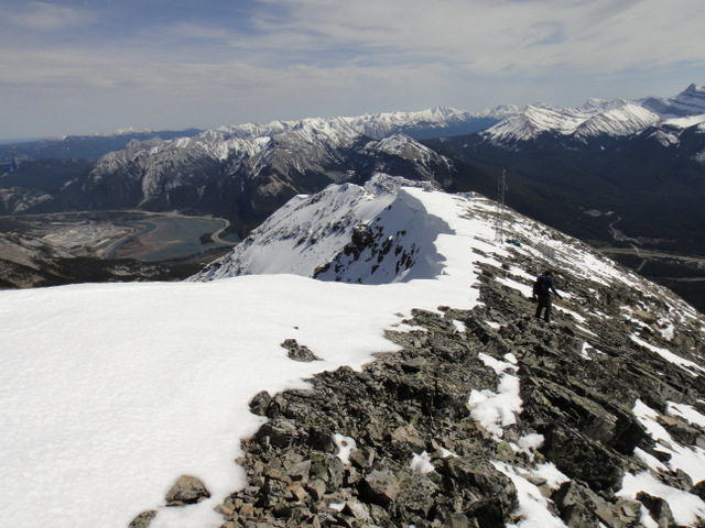
| East view from the top of Grotto Mountain |
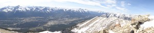 |
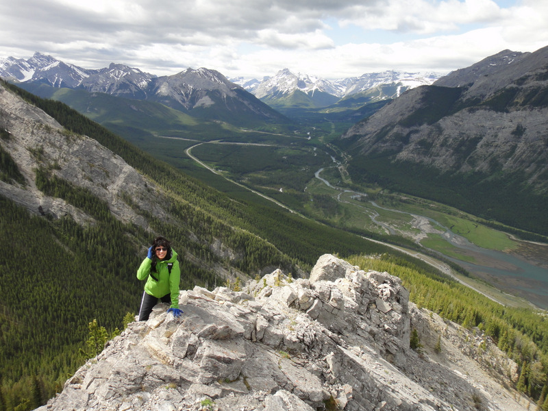
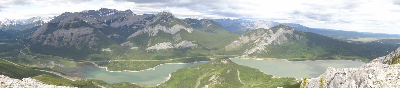
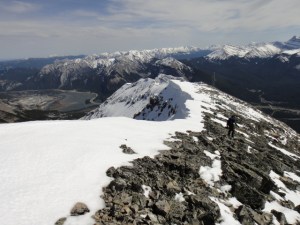
| Panoramic from the top of Grotto Mountain |
The descent was quite brutal. We opted for an alternate, un-travelled route over wobbly rocks and snow. We pretty much had to crab-climb down, feet first, to make sure that we didn’t trip and fall. It seemed like a good and fun idea at the time, but it turned out to be tedious, hellish, and caused me to scream out to Mother Nature and the heavens more than once (“Damn you, Mother Nature!! *shakes fist*)
 |
| Getting ready to descend :S |
 |
| Weeeeeeeee! |
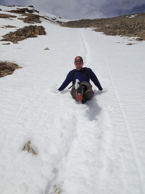
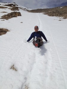
Once we began hitting large patches of snow, we figured we’d try and slide down the mountain on our feet. Again, this seemed like a good idea, and in theory, we could cut down a lot of the descent time. Whether or not we were successful, it sure was fun! Paul even thought ahead of time and brought a garbage bag to act as a toboggan. It was an epic fail though.
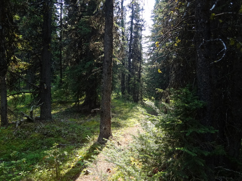
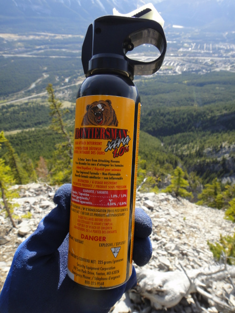
After reaching the tree line, the hike back to the car seemed like it went on forever. Our knees hurt and our quad muscles were on fire. And with all of the sliding down the snow, our feet and butts were soaked. But things certainly got better once we extended the hiking poles and used them to brace some of the impact. From then on, it was a typical Shire hike, though one does not simply walk into Mordor in 8 hours. That’s right. By the time we reached the parking lot… after enduring the discomfort… and trudging through snow… and losing my bear spray… and screaming repeatedly to keep bears away… and cursing Mother Nature… and then finding my bear spray hours later… we had been on the mountain for over 8 hours. This was no simple hike. This was some next-level hiking!
As a random aside, 8 hours is a long time to learn stuff and talk rubbish. For example, what are some things I learned on this hike?
I learned that Paul has some
ass-hole shoes. (In truth, he has Asolo brand hikers, but they pretty much sound the same).
I learned that a good motto for life is: “Stop Whining. Be Brave. Smoke Weed.” (Okay, well I definitely don’t condone the weed part, but it’s part of an inside joke…).
I also learned some shelter definitions. For example,
Lean-to: “A term used to describe a roof with a single slope. The term also applies to a variety of structures that are built using a lean-to roof.” And
Bivouac shelter: Refers to “any of a variety of improvised camp sites such as those used in scouting and mountain climbing. It may often refer to sleeping in the open with a bivouac sack, but it may also refer to a shelter constructed of natural materials like a structure of branches to form frame may be utilized, which is then covered with leaves, ferns and similar for waterproofing and duff (also known as leaflitter) for insulation.”
Hmm. Good to know!
And why did these come up? Well, near the end of the hike, we both felt defeated. But then Paul corrected us: We’re not defeated, we’re undefeated! I mean, we’ve conquered many mountains and have lived to the tell the tale. So it had us thinking: What exactly constitutes a “defeat” on a hike? We brainstormed and concluded that you are a defeated hiker if any of the following scenarios occur:
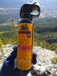 |
| Phew! I found my bear spray 🙂 |
1. You decide to camp out at the top of the mountain because you’ve run out of energy and are too tired to continue. DEFEATED.
2. You are air-lifted off of a mountain because you’ve run out of energy. Or you’re injured. DEFEATED.
3. You activate a Personal Locator Beacon. Especially if it’s because you’re scared to descend the mountain. DEFEATED.
4. You lose your bear spray. DEFEATED.
5. You are infected with Rocky Mountain Spotted Fever. DEFEATED.
6. You get a tick bite and get Lyme disease. DEFEATED.
7. Anything involving tapeworms. DEFEATED.
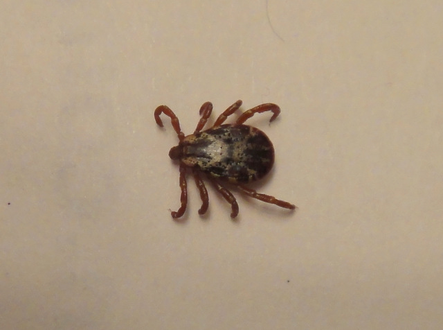
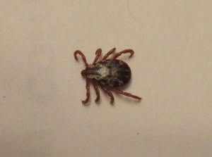
Wait… how did tick bites and Lyme disease play a role in this day? Well, when we got back to Paul’s place before heading out for dinner, he noticed something that looked like lint on his skin near his stomach. He went to flick it off himself but then realized it was moving! And it looked disgusting. With many legs. It was obvious that it was a tick, and it was über gross. We’re thinking that all of that off-trail navigation through the trees may have something to do with this. And how did it get to his stomach area? We’re thinking it fell from a tree and down his shirt. Disgusting.
 |
| This beast basically pierced Paul’s heart with Lyme disease! Or maybe not… |
Ticks can carry some scary stuff like
Rocky Mountain Spotted Fever or
Lyme Disease. Does this mean that Paul is no longer undefeated?!? :S. No, of course not, despite worry to the contrary. Further amateur entomological research indicates that the tick in question may be a winter tick or a moose tick, and they don’t usually spread anything. I think he should still watch for that red bullseye mark though, and perhaps some other symptoms. I mean, that tick did pierce his heart after all…
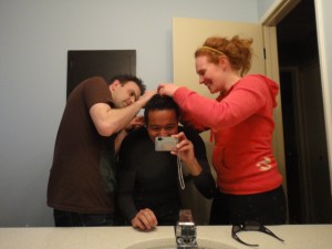 |
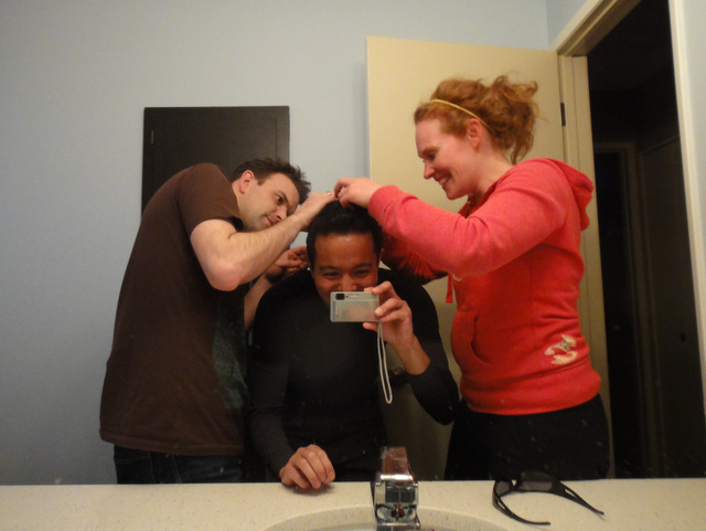
| Social grooming. Ha! (Or checking for ticks. Gross.) |
The hike to the summit of Grotto Mountain and back took about 8 hours and 10 minutes, making it the second longest hike I’ve done since moving to Alberta (the longest was
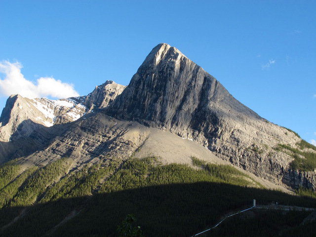
Mount Sparrowhawk at 8.5 hours). After a much needed bathroom stop and a newly found stride in my step, we began the hike at 11:10 am and arrived at the summit by 3:30 pm. After signing our names and admiring the views, we began our descent and were back at the car by 7:20 pm. Grotto Mountain stands at 2706 metres with an elevation gain of 1425 metres. It was a really long day and an epic hike, but Paul and I conquered Grotto Mountain! Whoohoo! There’s a crazy hike in the 10 – 12 hour range that we’re working toward, but that will be revealed in due time… 🙂
 |
| Grotto Mountain- We conquered you! Whoohoo! |