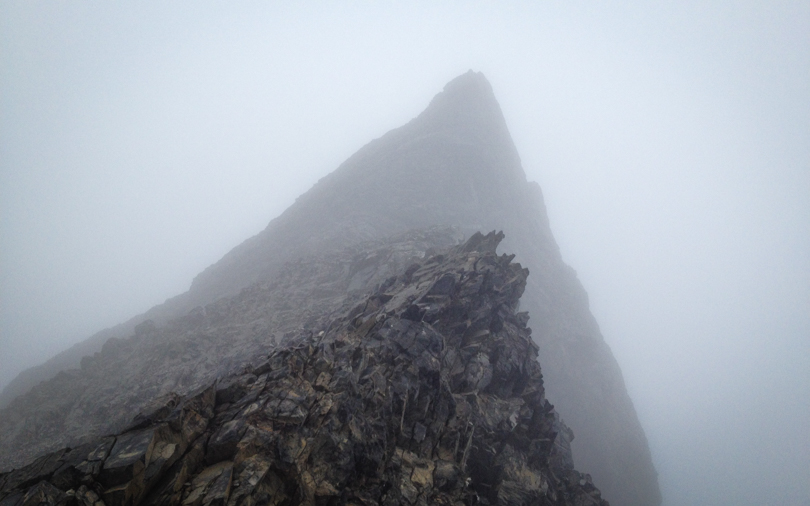

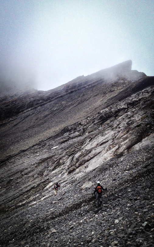
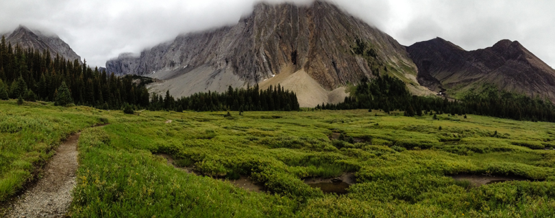
So the plan was to hike to The Fortress, which has been on my list for a long time. Mother Nature, however, had a different plan. Shrouded in a dense cloud, it was impossible to see The Fortress or Mount Chester from the col. I suppose I could have climbed to the summit regardless, but since there was a high risk of bear activity in the area, I opted to choose safety in numbers over crossing this peak off the list. Also, there are no views to be seen when you’re in a cloud! Next time…
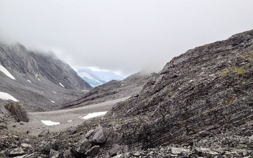
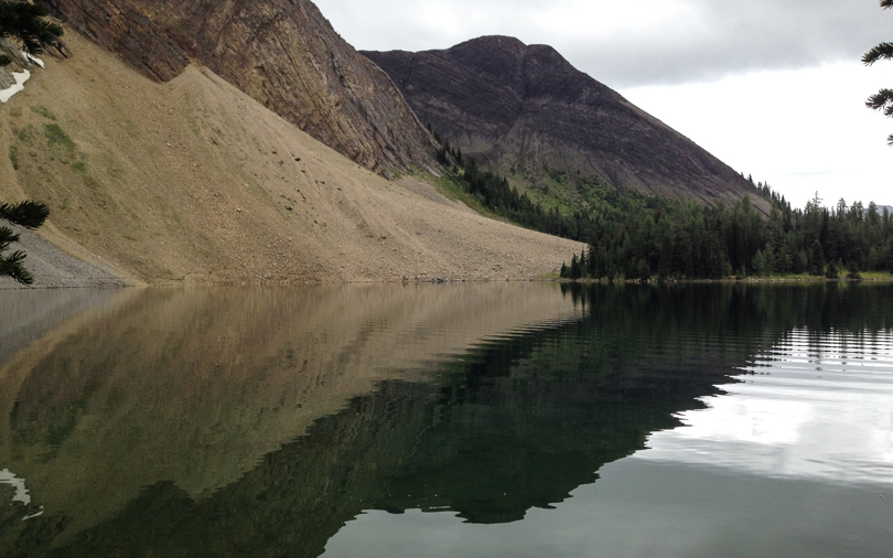
The hike to the col via Headwall Lakes with a return via Chester Lake made for a super nice day hike of 8.25 hours. Long, yes, but with varied scenery between the two valleys, and gorgeous lakes and meadows along the way, the loop is definitely worthwhile.
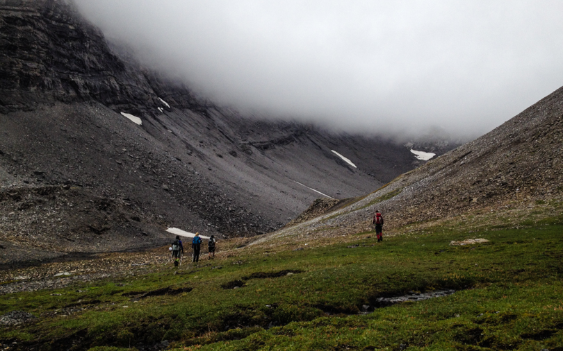
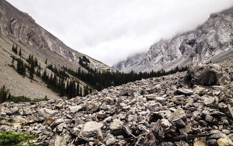
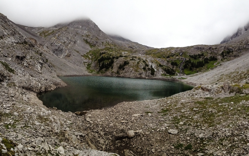
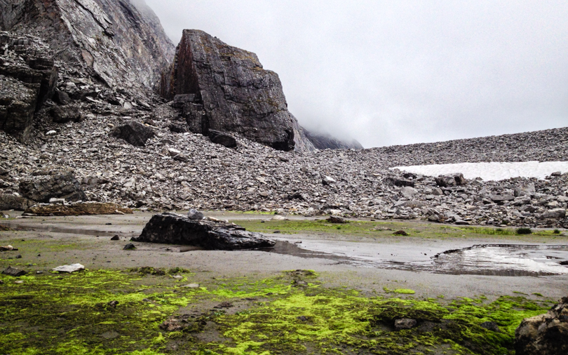
Park at the Chester Lake lot about 20 km north on the Smith-Dorrien/Spray Lakes Trail from the Kananaskis Lakes Trail. Find the trailhead at the south end of the lot for the Headwall Lakes approach. After a kilometre or so of walking, we crossed Headwall Creek, walked uphill for a bit, and then came across a well-used trail to the left. (That took a bit of route finding for our group, so I’ve included some photos of how we found the right trail). Since we couldn’t see the peaks around us, we had a bit of difficulty finding the col too. After passing the lakes and meadows and rock fields, stick to the left side of the valley. A trail to the col should be noticeable. (We thought it looked like a water drain at first so we missed it the first time). Overall, the loop took 8 hours and 15 minutes over approximately 18 km. According to my Runkeeper, the col has an elevation of 2648 m. The gain over the course of the hike is 862 metres. Not a bad day hike at all :).


Even on a foggy day mountains are beautiful. Nice pictures. Glad you enjoyed the hike regardless of the weather.
LikeLike